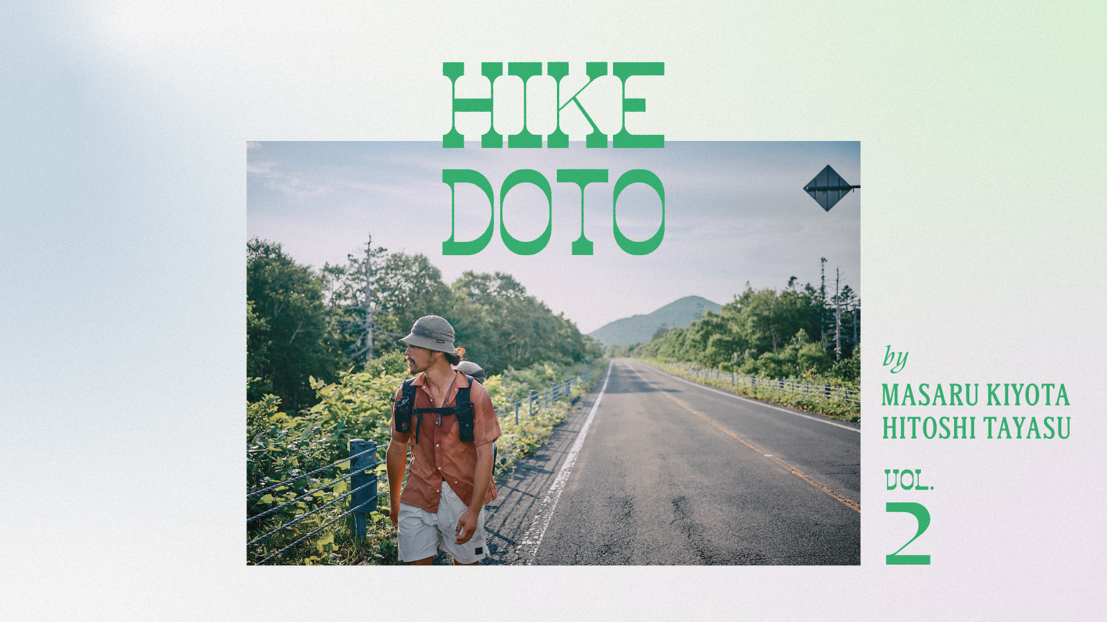


HIKE DOTO: 410 Kilometers on the Hokkaido East Trail, Vol. 2
Photographs by Hitoshi Tayasu
HIKE DOTO: 410 Kilometers on the Hokkaido East Trail, Vol. 2
Photographs by Hitoshi Tayasu
In the second half of Masaru Kiyota’s report on hiking the Hokkaido East Trail, Japan’s newest long trail, he and his companions make their way toward Shiretoko. As they cut through eastern Hokkaido — where signs warn of brown bears — Kiyota’s thoughts increasingly focus on a question: How do we coexist with nature?
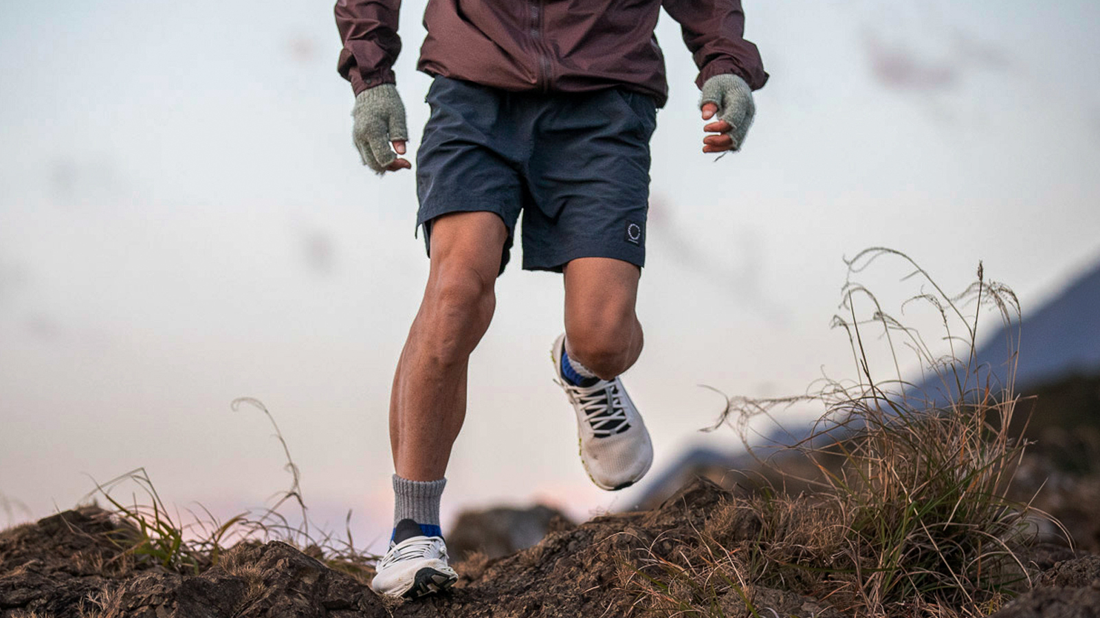
How to enjoy the Hokkaido East Trail
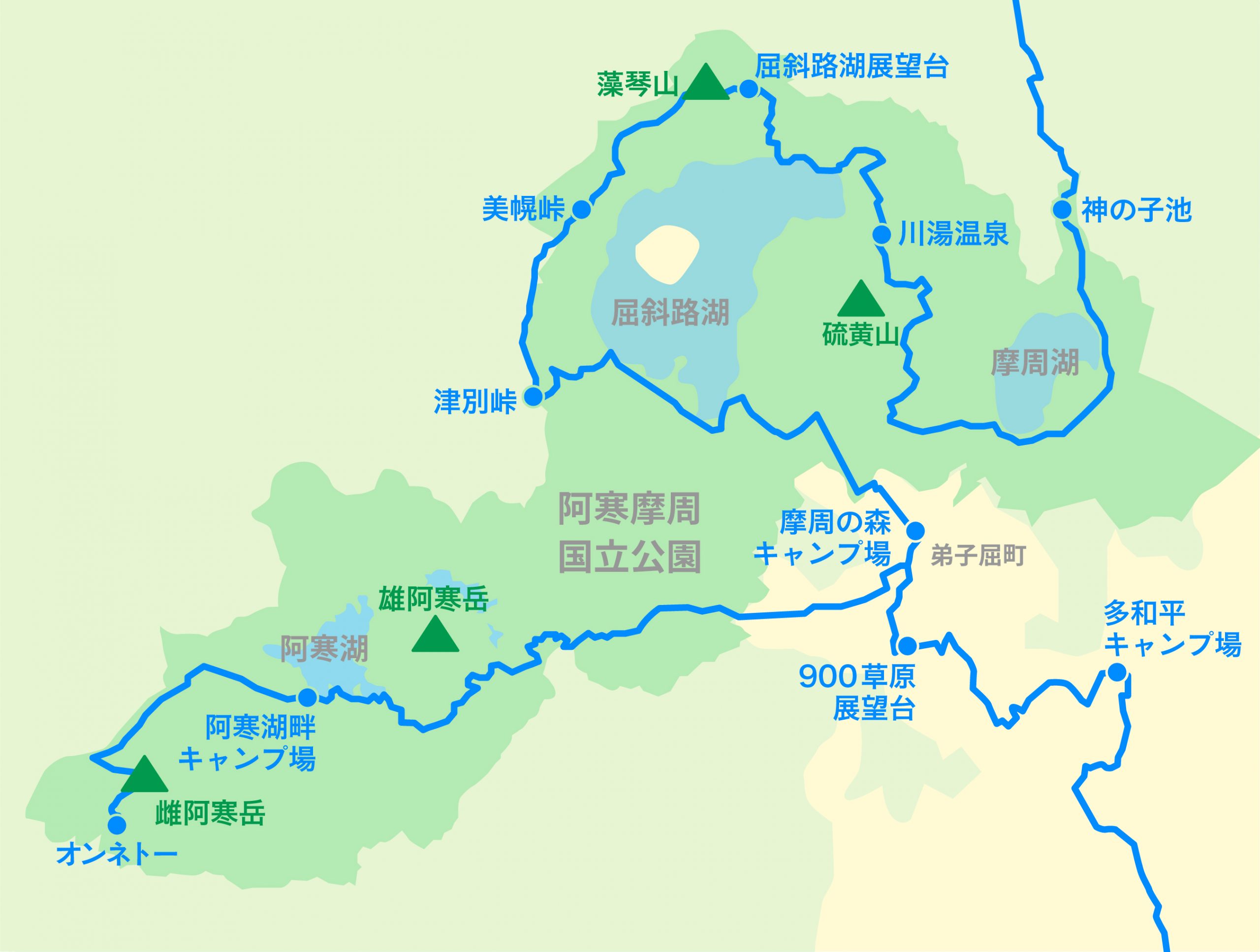
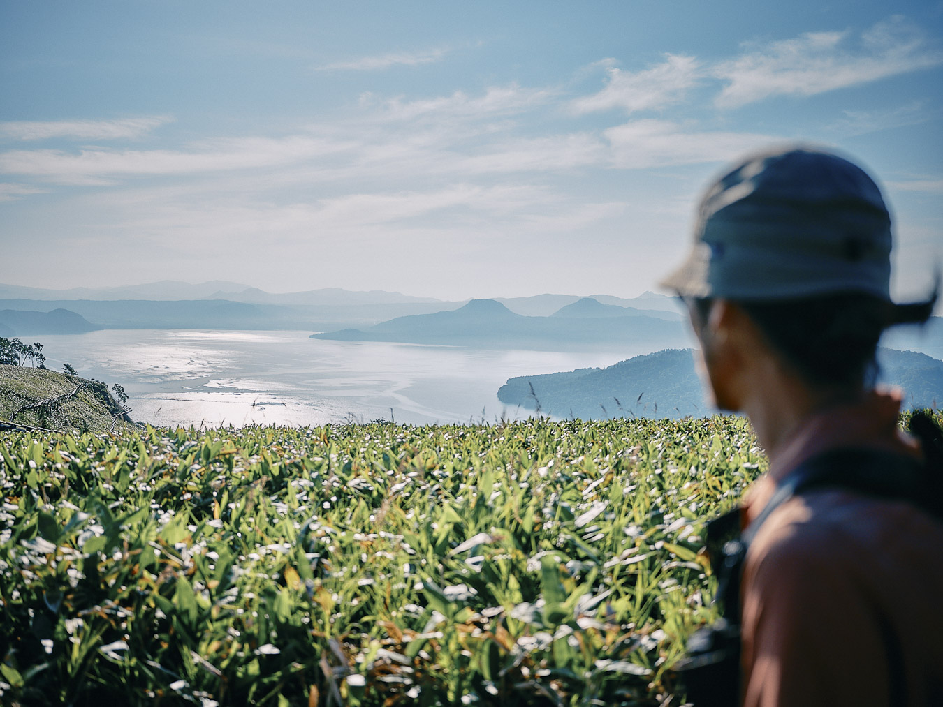
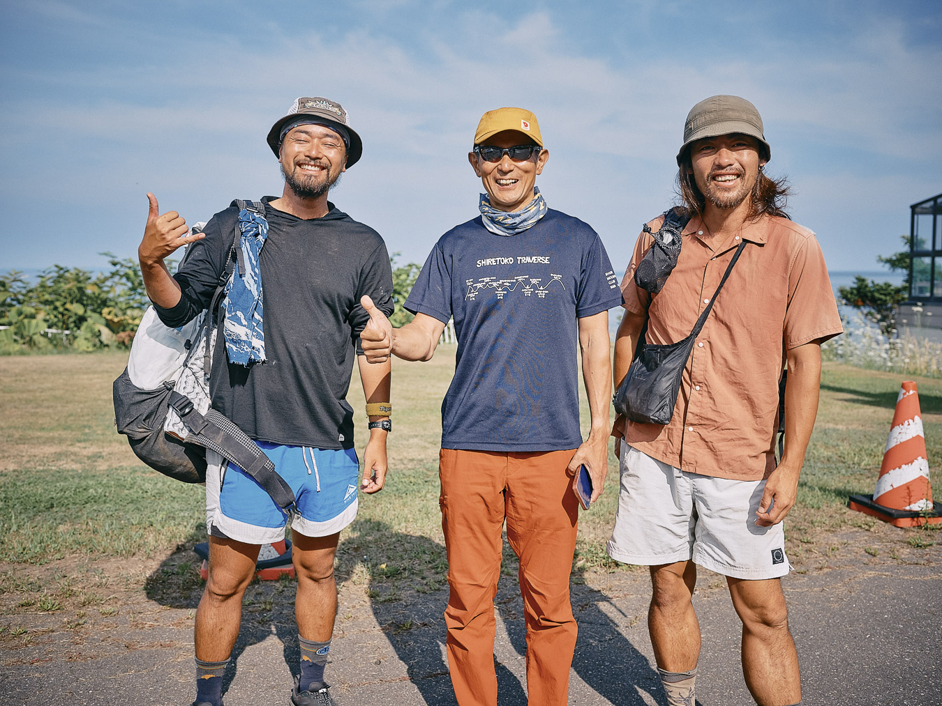
Our next destination: the area around Lake Akan, west of Teshikaga town. We are now entering a new phase of our journey. Tani is with us. Our plan is to briefly leave the Hokkaido East Trail. We’ll hitchhike to Onneto ー the starting point of what’s known as the Akan Classic Trail ー and walk back to Teshikaga. Towering over Lake Akan are Mount Oakan and Mount Meakan, collectively known as Mount Akan.
—
Leaving the trail, we hitchhike from Teshikaga to Onneto, the starting point of the Akan Classic Trail.
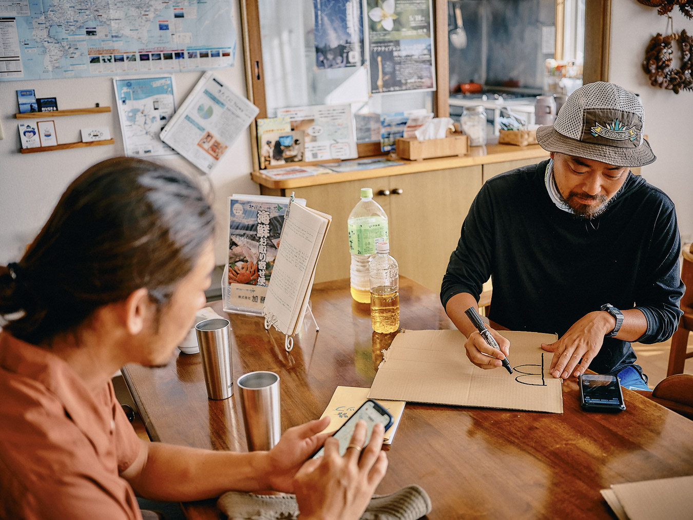
Writing our destination on a cardboard hitchhiking sign.
We had nerves about hitchhiking, but within a half hour a couple stops to give us a ride. It’s their first time picking up hitchhikers and our first time hitchhiking in Japan. They ask about our trip and soon we’re chatting cheerfully.
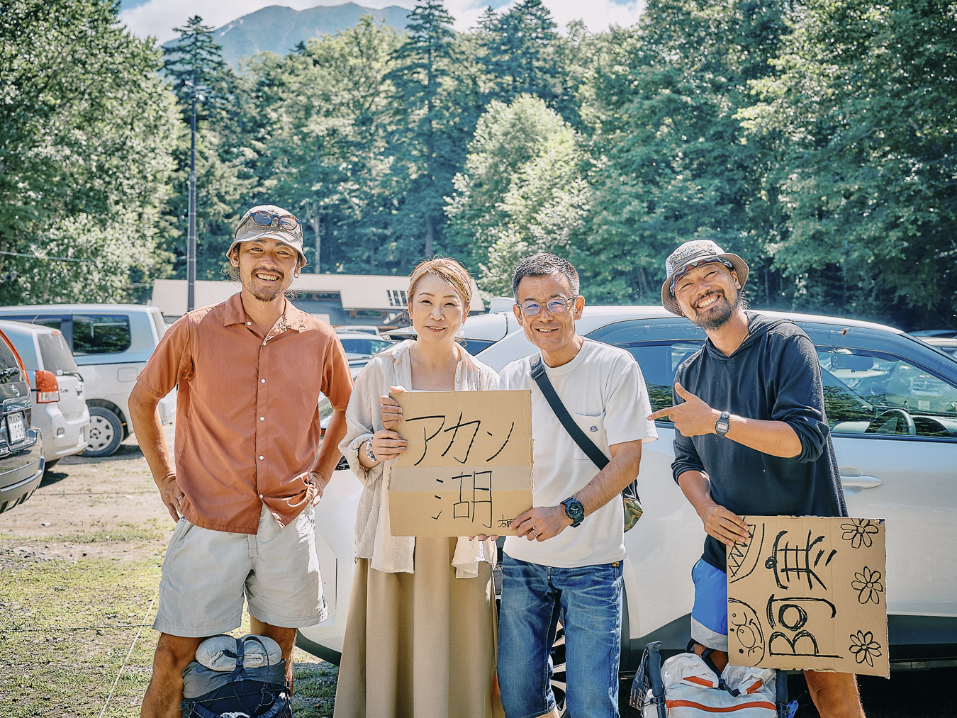
We say goodbye to the couple who gave us a ride at Onneto.
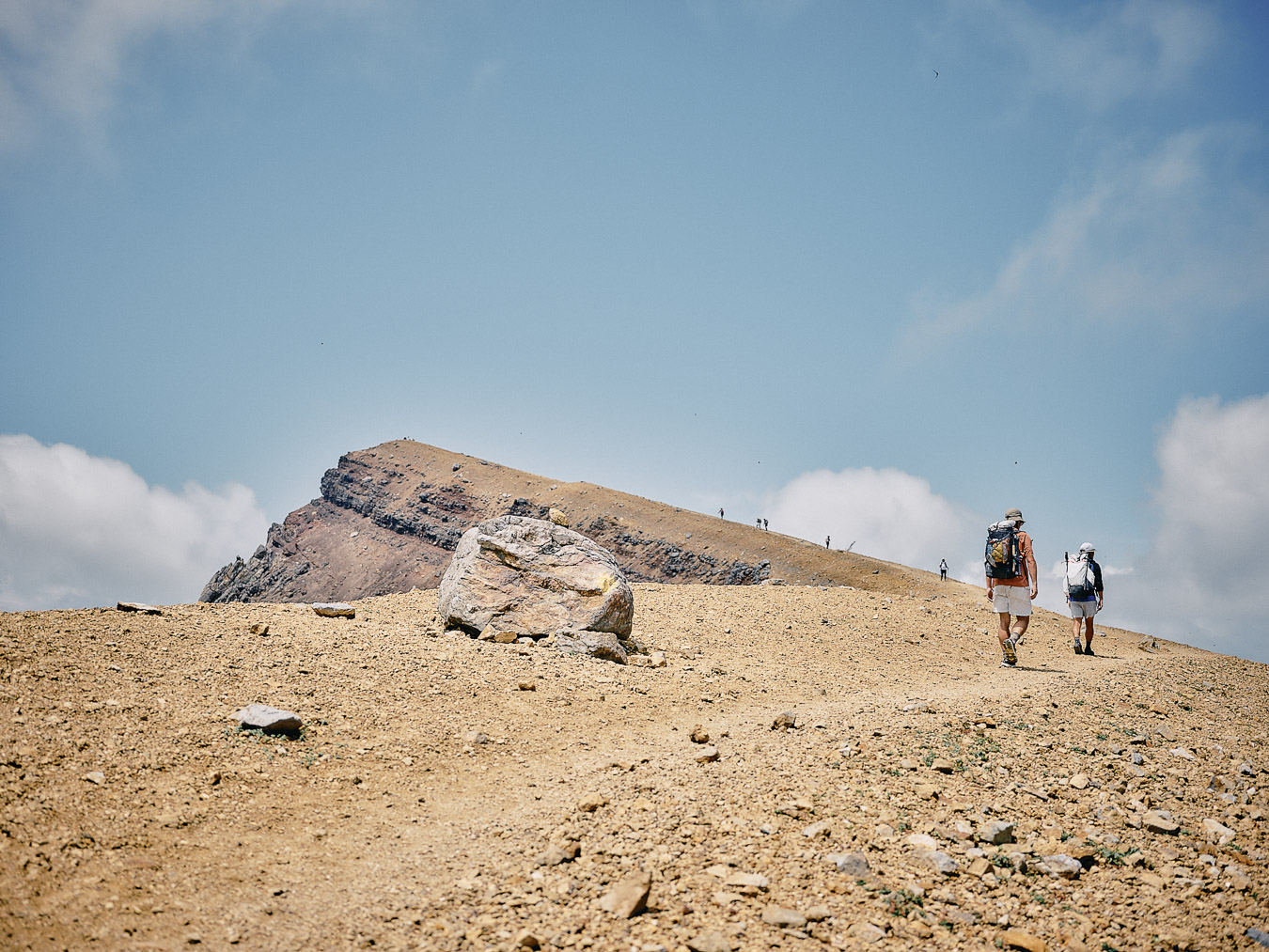
The couple drops us off at Onneto. The Hokkaido East Trail turns back from Onneto along the same road we hitchhiked. But now that we’re at the trailhead of Mount Meakan, none of us feels like walking on the road, so we climb the mountain instead.
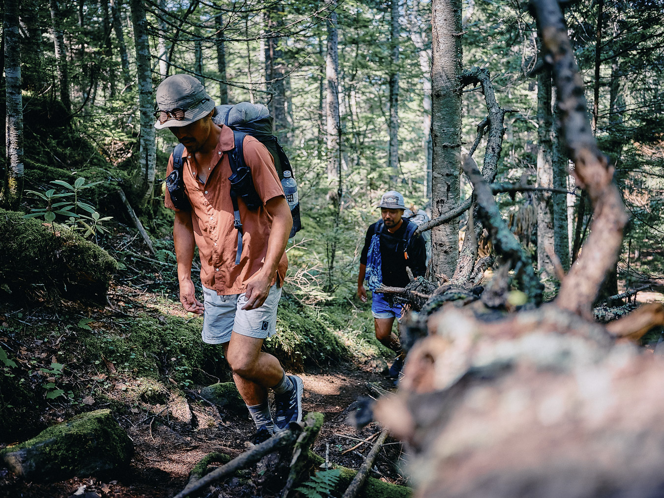
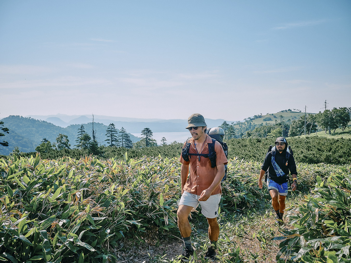
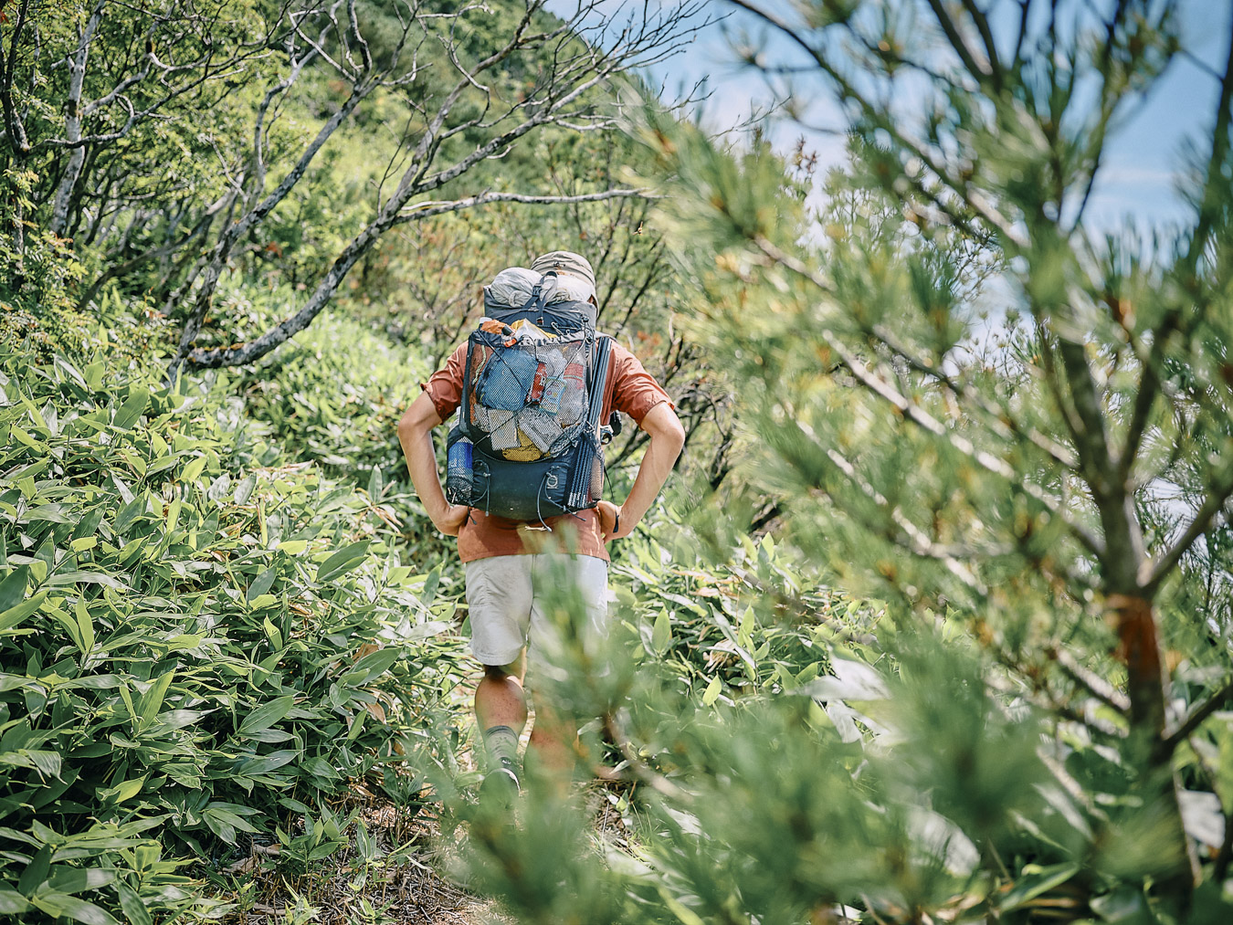
For the first time since we started on the Hokkaido East Trail, we are finally on a mountain trail. While photographer Hitoshi strides ahead in a cheerful mood (“I really do love mountain trails,” he says), Tani slows down and walks in silence. We steadily gained elevation.
Emerging from the forest zone.
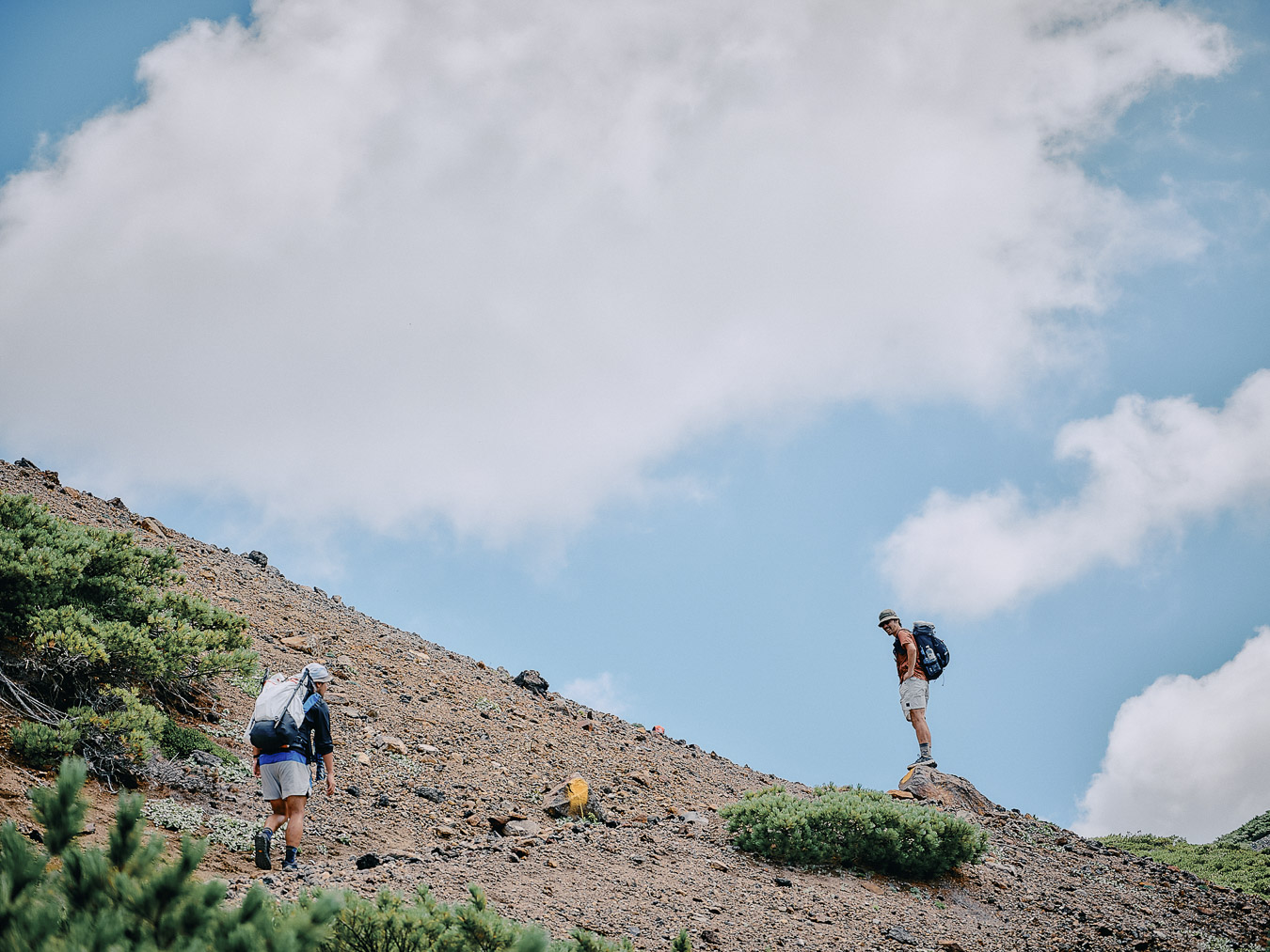
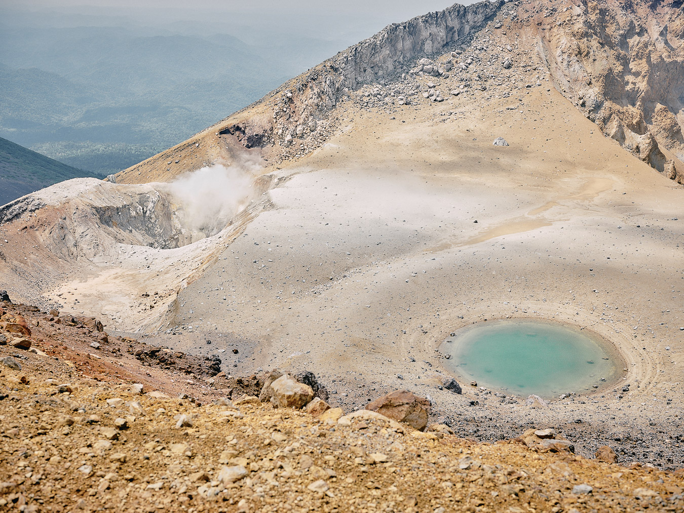
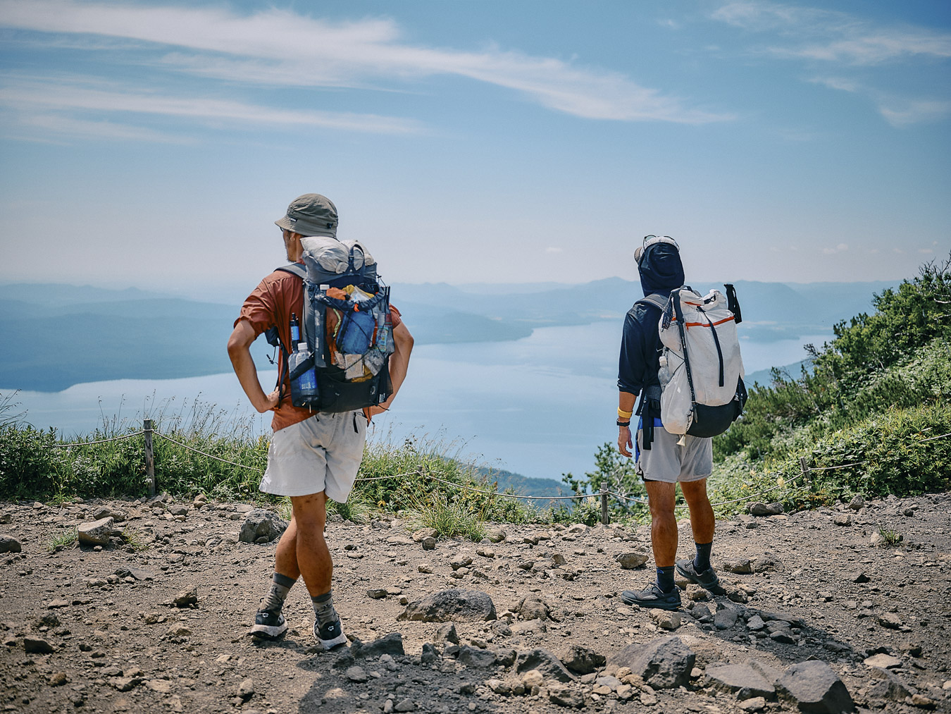
Mount Meakan stands 1,499 meters (4,918 feet) high. It’s an active volcano, having erupted as recently as 2006, and even now smoke rises from the crater near the summit. We spot a surprising number of swallows darting about above the crater. It’s hard to imagine that there’s much for them to eat here. Maybe they’ve chosen this place as a trade-off: To avoid predators, they willingly risk the volcano’s toxic fumes and heat. For me, it’s a reminder of the beauty and harshness of our natural surroundings.
Near the summit of Mount Meakan.
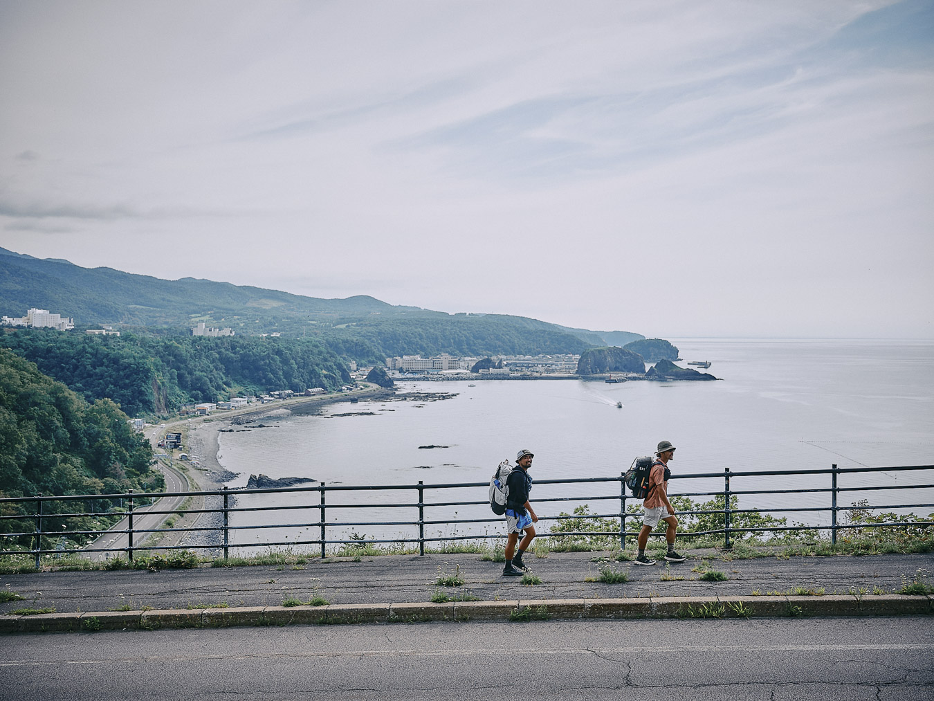
We’re only a few dozen kilometers from the road connecting Kushiro and Teshikaga, and yet the scenery couldn’t be more different.
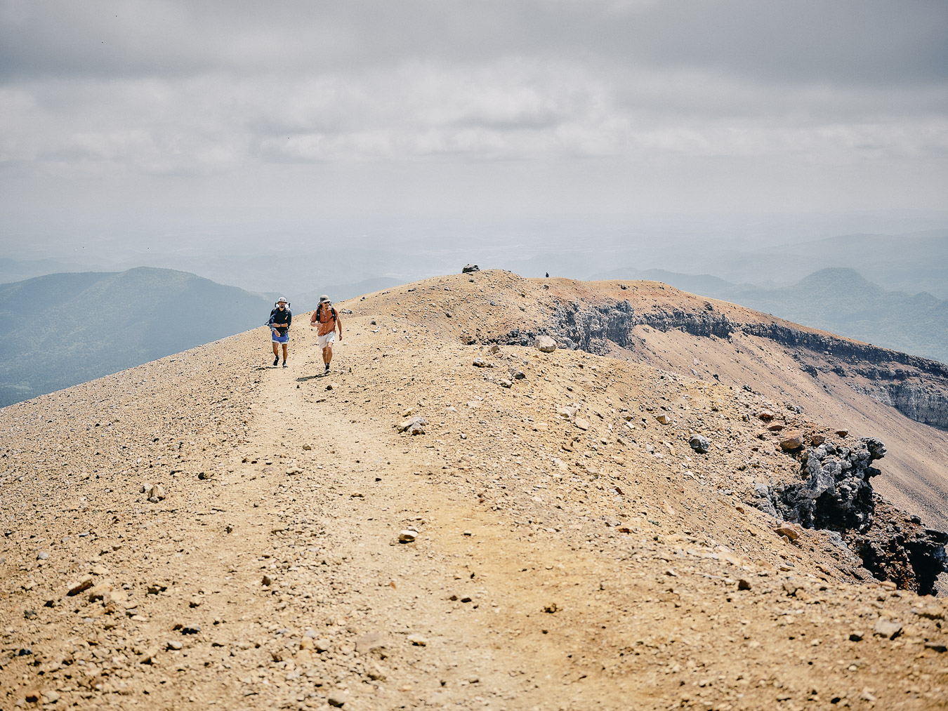
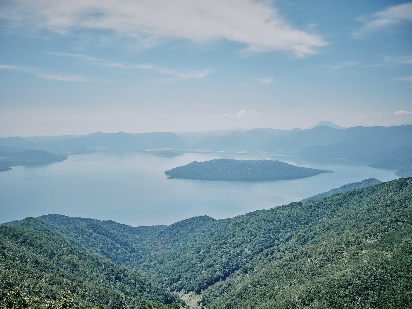
Near the summit, we see Lake Akan below. Across the lake stands Mount Oakan, and beyond that, the ridgeline of the outer rim of Lake Kussharo’s caldera. Mount Shari is faintly visible in the distance. To the south lies the Kushiro Wetlands. It feels as if we have a view of all of eastern Hokkaido.
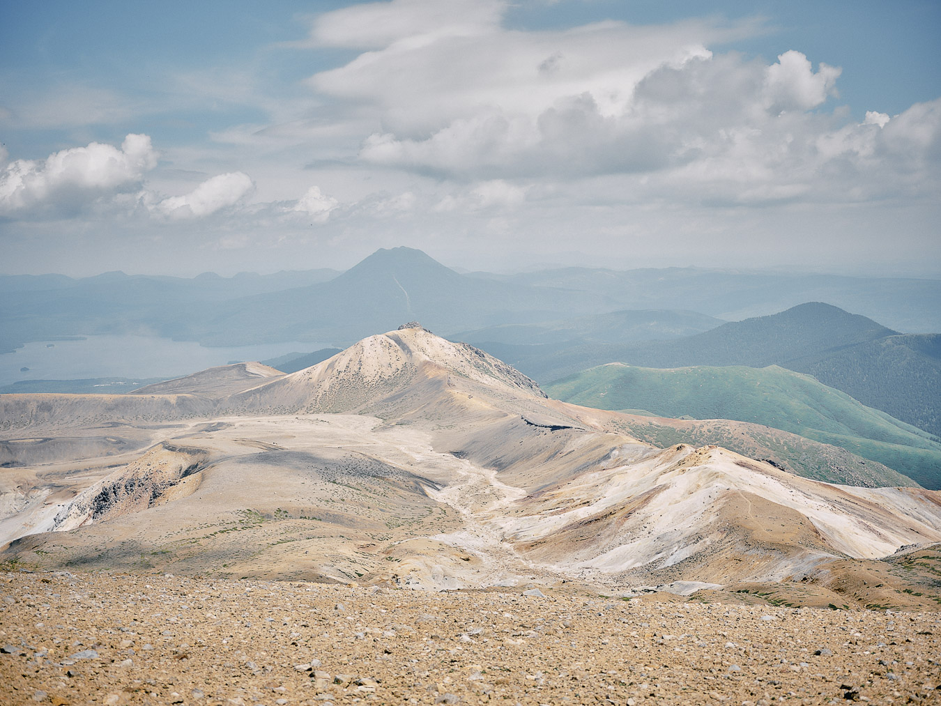
Lake Akan (left) and Mount Oakan (center).
The landscape of the Hokkaido East Trail is remarkably diverse. The roads traversing the Kushiro Wetlands. The magnificence of Mount Akan. The caldera walks around Lake Kussharo and Lake Mashu. Sakura Falls in Kiyosato, where cherry salmon swim upstream. Kaminokoike pond. The freshwater springs around Mount Shari. And finally, Shiretoko, a well-known brown bear habitat.
The trail isn’t only suitable for walking. You can bikepack (carrying essential gear on an off-road-capable bike) from Kushiro to Teshikaga or packraft from the headwaters of the Kushiro River.
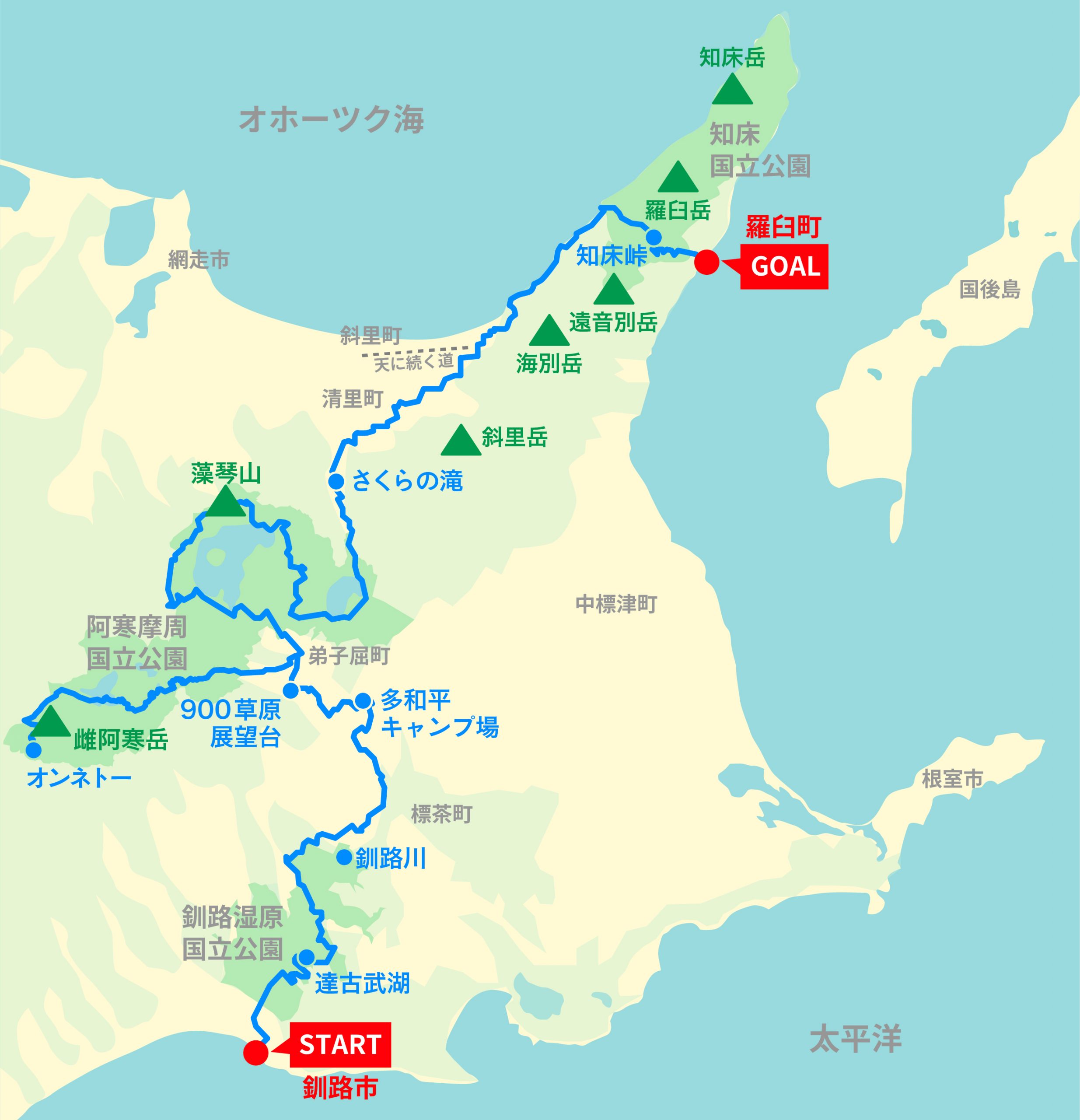
Map of the Hokkaido East Trail.
The Lake Akan area is ideal for hiking but getting here from Teshikaga isn’t easy. There are no buses and walking on the road would be more than 100 kilometers (60 miles) of monotony. Instead, you could bikepack until you’re close to Mount Oakan and Mount Meakan, and then hike from the trailhead and camp at Lake Akan, before returning to Teshikaga. If only we’d done that…
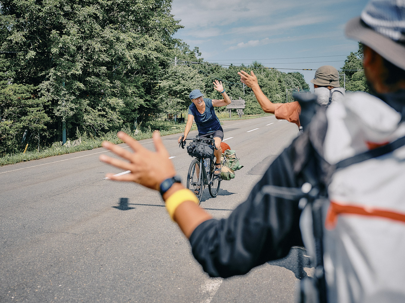
Hokkaido attracts cyclists in summer.
From Mashu to Shari, the trail runs through bear territory. You could head up the valleys while fishing streams for trout. Friends had told us about Hokkaido’s fish-packed streams, and we had brought along our tenkara rods. But ultimately we didn’t have much time to fish ー we caught one measly dace (a small, silver-colored freshwater fish) in the Kushiro River.
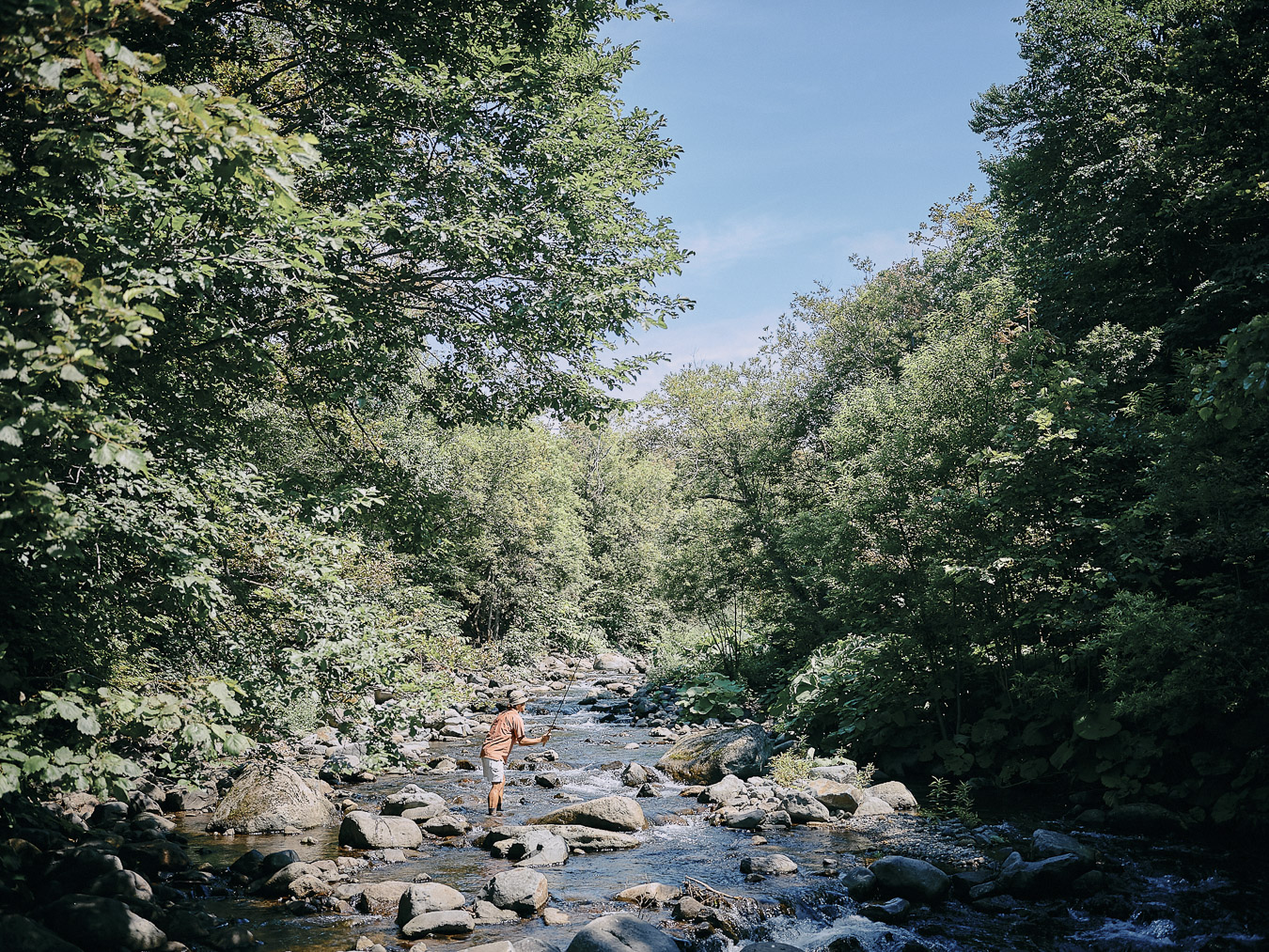
An epic fail while stream fishing.
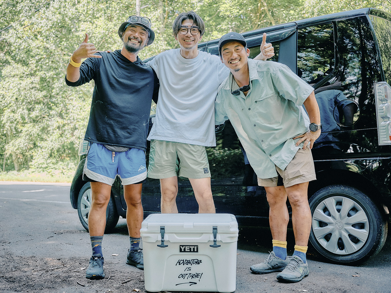
This is what dominates our daydreams as we arrive at Lake Akan Campground. Friends who had planned to climb the Daisetsuzan range only to be thwarted by bad weather have driven all the way to eastern Hokkaido to see us. We couldn’t be happier. Someday, I’d love to travel around eastern Hokkaido with friends like them. In that sense, this place is full of endless possibilities for adventure.
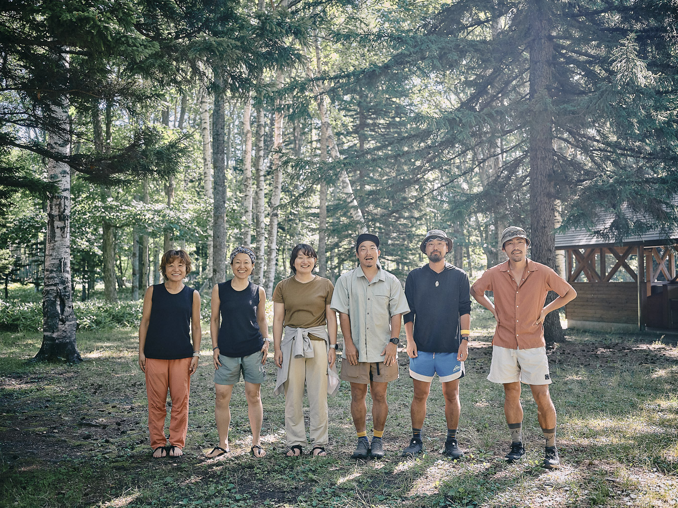
Camping with friends who abandoned their plans to climb Daisetsuzan.
Angel in the heat
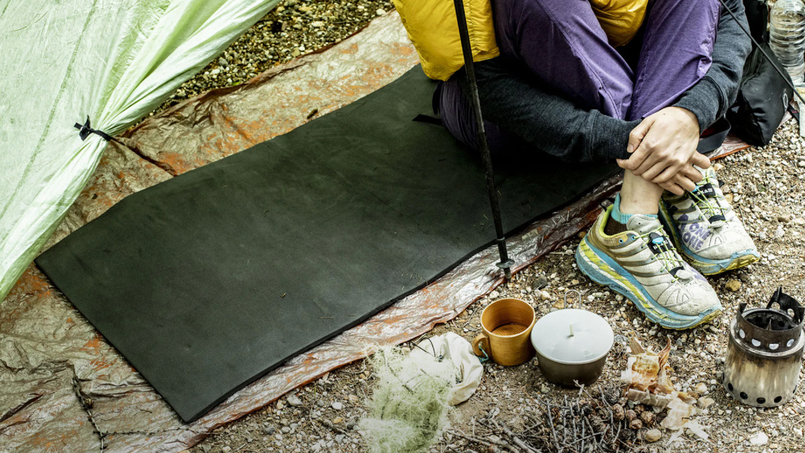
After climbing Mount Meakan and walking the road back toward Teshikaga, we spend the night at Mashu Forest Campground, in northern Teshikaga. From the moment we crawl into our tent, we’re sweating. The days have been hot and the nights cool ー until now.
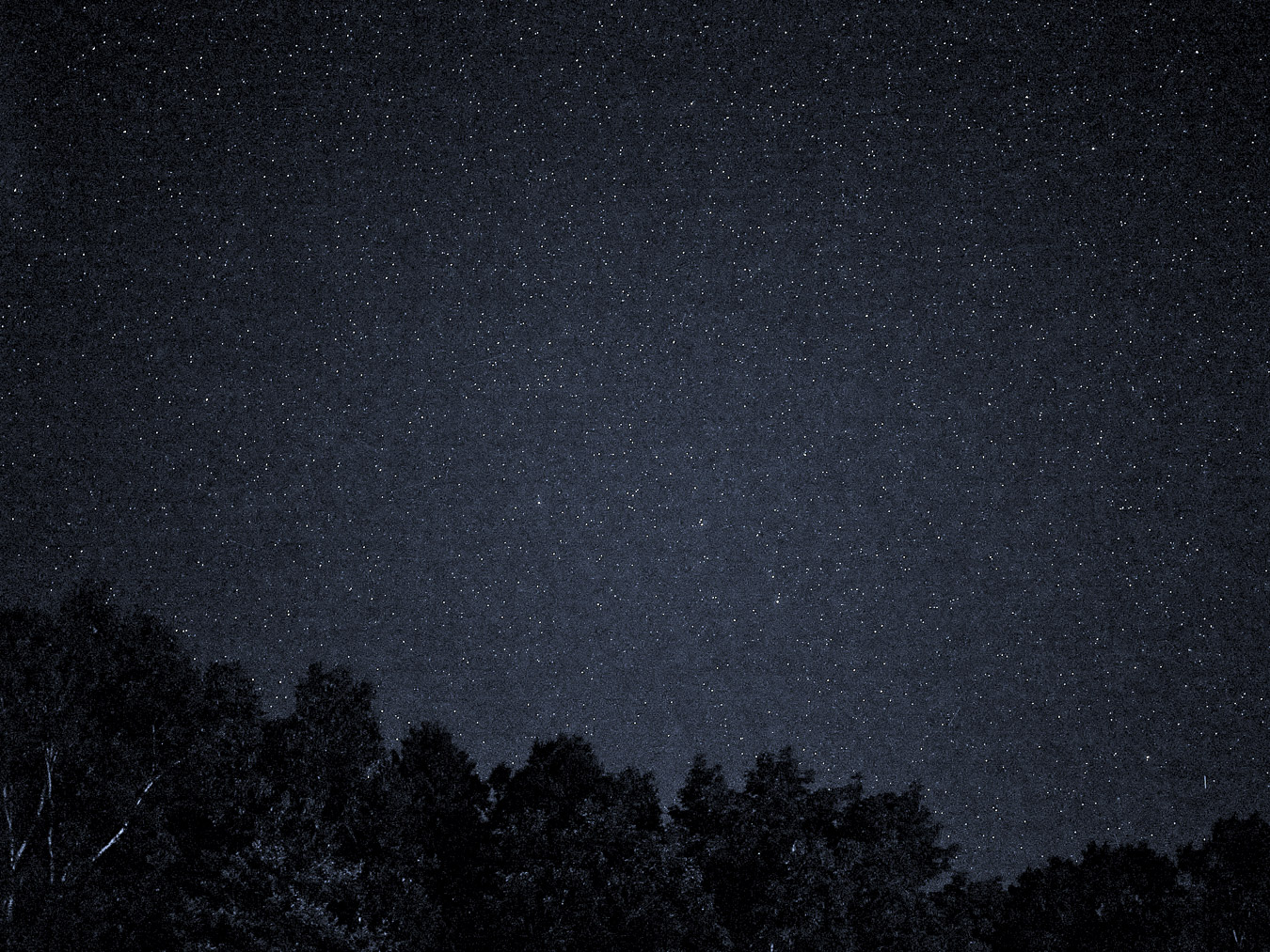
Star-filled nights in eastern Hokkaido.
The next day, our plan is to walk along Lake Kussharo and head toward Tsubetsu Pass, the southern starting point of the Kussharo Caldera Trail. The 32 kilometers (20 miles) we’ll cover includes a 600-meter (1,969-foot) climb at the end. It’s all well within our abilities.
We pack up around 08:00 and swing by a nearby Seicomart convenience store for breakfast: onigiri and fried chicken cooked in the in-store kitchen.
Someone pulls out a phone to check the forecast. It’s going to be another scorcher. On the map, western Hokkaido is red (hot) and eastern Hokkaido purple (even hotter). The continental heatwave is to blame. Obihiro and Kitami will hit 40 degrees C (104 degrees F). The media is filled with warnings of heatstroke. The thought that we are about to walk in this heat terrifies me.
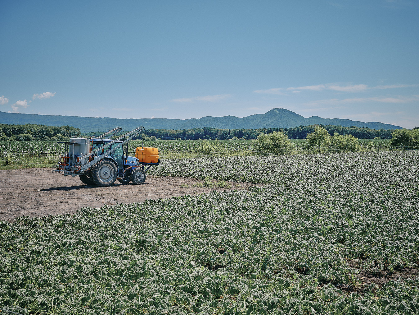
Crops wilting in the fields.
We walk the seemingly endless road to Lake Kussharo. The horseflies are relentless. The water in our bottles quickly turns lukewarm. We’re sweating profusely. We can’t even muster up the energy to complain.
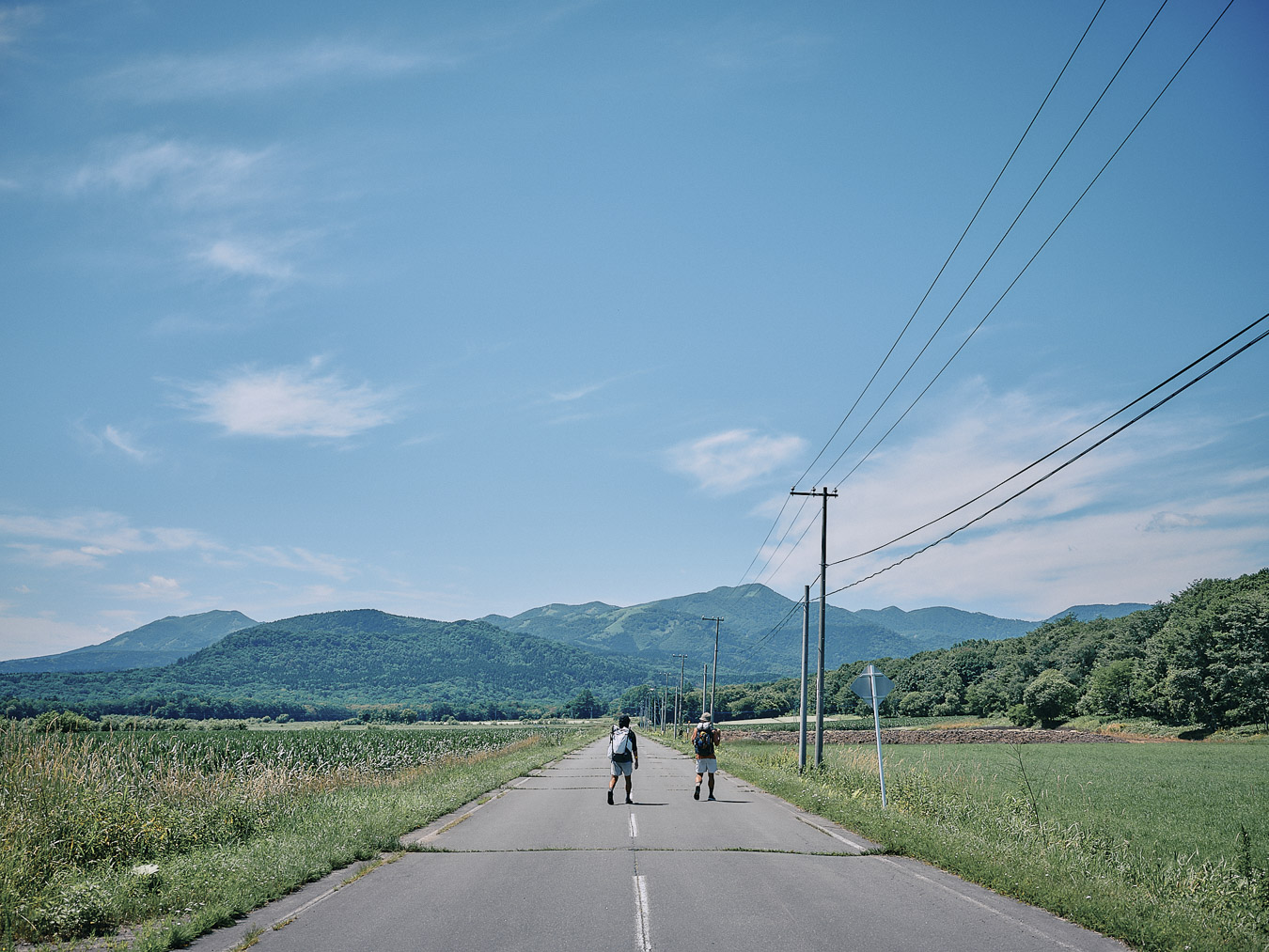
Nothing to block the sun.
Even Hitoshi, who is usually constantly shooting, constantly in motion, is wilting. Like the crops in the fields around us. If we can just reach the lake, we can jump in and cool down. Anytime there’s shade, we take refuge. Hokkaido wasn’t supposed to be like this. We’d imagined a cool breeze and vast landscapes. Instead, we’re here wondering how many days we’ll have to endure like this. Have we reached the point where we can no longer live comfortably on this planet?
As we walk in a haze, a car pulls over nearby.
“Masaru? I’m here as your trail angel!” says the driver.
It takes a moment for this to sink in. I’m sure I’ve never met him before.
He parked his car and walked back to us.
He parks on the shoulder ahead. He introduces himself as Eiji Sato. The name sounds strangely familiar.
“Have I ever sent you a postcard?” I ask.
“Many times!”
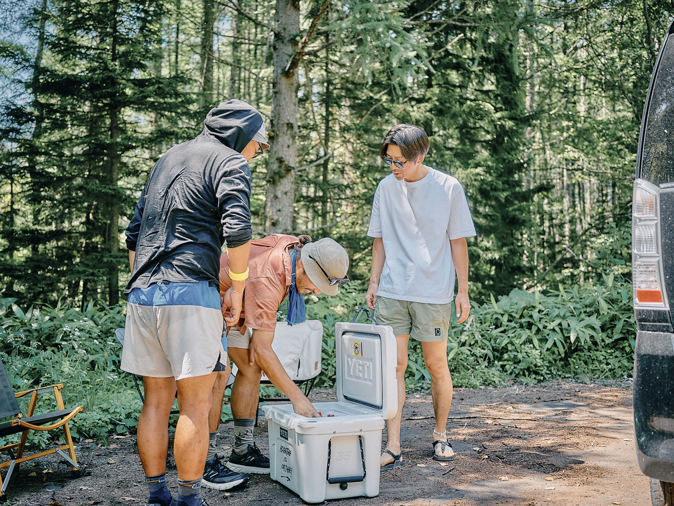
Shamelessly digging into the cooler.
I run a project I jokingly call the “Postcard Operation.” On long trips, I keep a diary. Traveling alone often leaves me with downtime in my tent, so I ask people on social media if they’d like postcards. I buy postcards, write extracts from my diary, and mail them off. What started as a way of killing time has continued for six years. I’ve sent more than 1,000 postcards to date.
A rare shot of Hitoshi.
Turns out, I’d sent Eiji three postcards.
Without those postcards, my journey might have been just another feed on social media. Amid the texts, emojis and YouTube videos, postcards are a more personal form of human contact. A way of narrowing the gap between people.
We were parched and Eiji had driven around to find us on his day off. It was an unforgettable moment. A moment to feel thankful.
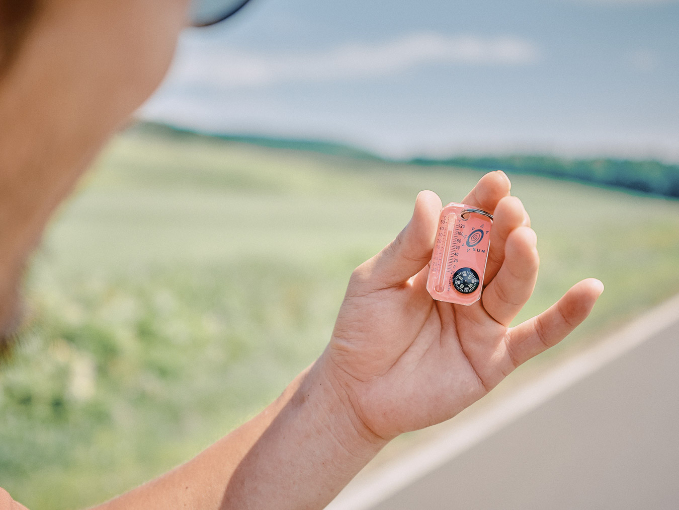
The thermometer reads 40 degrees C (104 degrees F).
After we part ways with Eiji, the temperature hits 40 degrees C (104 degrees F). But thanks to Eiji, we’re able to go on with our spirits high despite the heat.
Some like it hot
In the suffocating heat, we begin walking. The surface of Lake Kussharo shimmers. The lake was formed when water filled a depression created by volcanic activity. In 1934, it was designated part of Akan National Park and is Japan’s largest caldera lake. The Kussharo Caldera Trail, a 25-kilometer (15-mile) route stretching from Tsubetsu Pass to Mount Mokoto, traces the rim of this caldera. Bihoro Pass marks its halfway point.
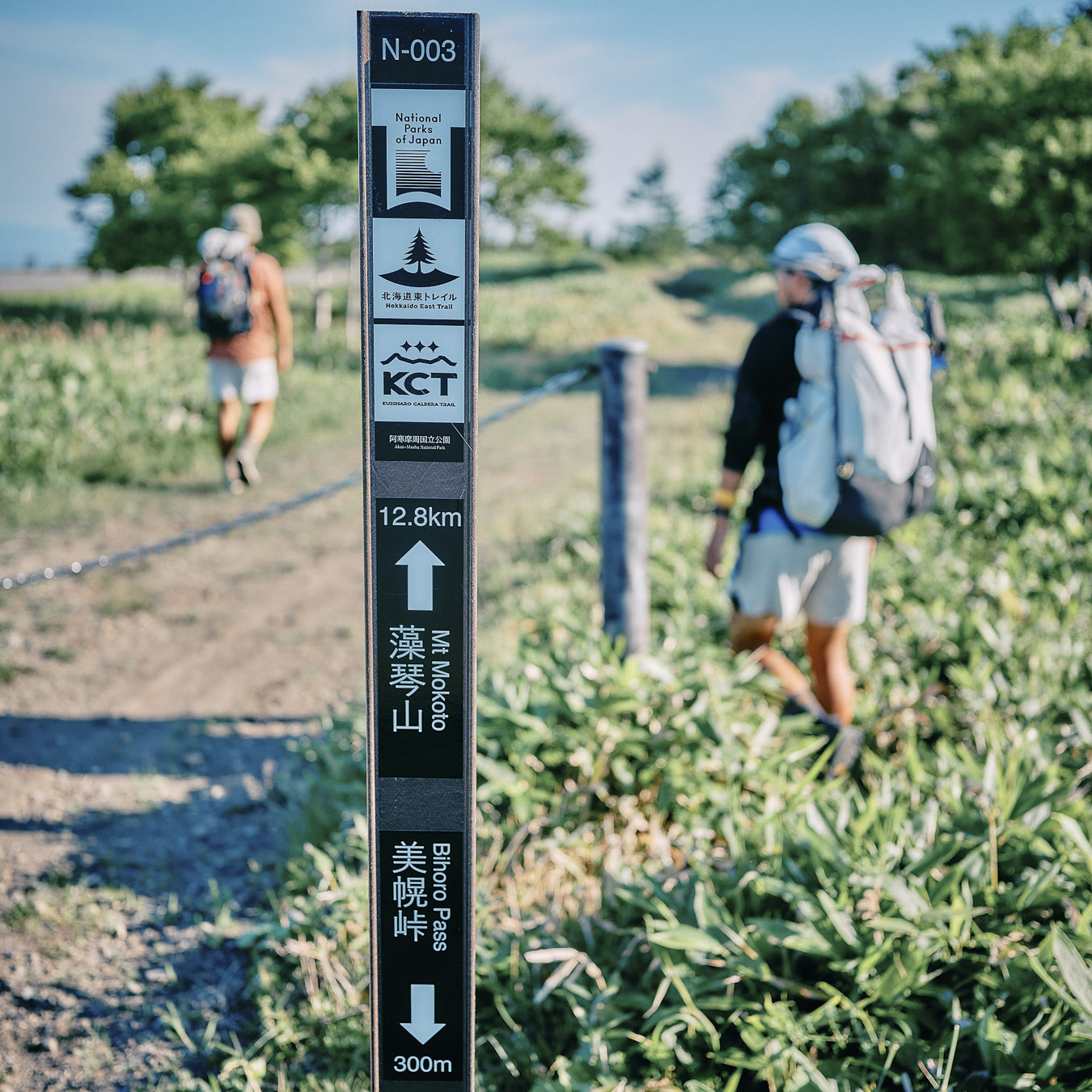
Trail marker on the Kussharo Caldera Trail (KCT).
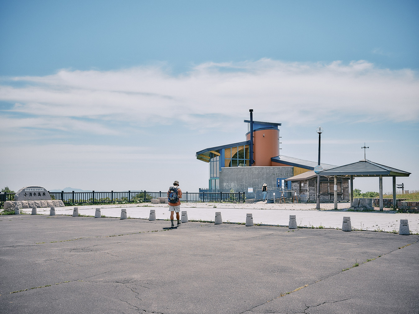
From Bihoro Pass to Mount Mokoto, the trail is well-maintained and offers views of Lake Kussharo.
The lake gleams in sunlight.
Bihoro Pass sits at about 500 meters (1,640 feet) above sea level. From there, the trail climbs another 500 meters to the peak of Mount Mokoto. We are at a higher elevation and now and then a breeze cools us. Still, it’s hot: Today will be just as bad as yesterday.
Fortunately, there aren’t as many horseflies, which is a source of relief. We continue climbing toward Mount Mokoto and before long we are drenched in sweat. The sun beats down on us. Right now, I would rather be walking in a cooler climate, but generally when I travel I prefer the heat.
This is the heat of midsummer hikes in the low-lying mountains of western Japan.
I haven’t done much traveling in cold weather. Last year was an exception: I experienced the cold, rain and wind of Iceland. At the time, I scrolled through friends’ social media posts, envying their sunburnt faces as they traveled in the US. We always seem to want what we don’t have ー what we think is missing. In the heat, we crave cold drinks; in the cold, we want hot food. Maybe that’s just human nature.
When I’m traveling, I’ll take the heat over the cold any day. The feeling of diving into a mountain stream or icy lake. The sensation of a breeze slipping through your shirt as you stand on a ridgeline. The thought of living creatures populating a lush forest, the trees stretching their limbs so their leaves catch the sunlight. This season, when nature is at its most active, is what I love.
Nearing the top of Mount Mokoto.
To exist or not exist
The view from the summit of Mount Mokoto.
From the summit of Mount Mokoto, we can make out the ridgeline ringing Lake Kussharo. Water flowing into the caldera formed the lake and water flowing out is the source of the Kushiro River, which ends at the Pacific Ocean. Our route from Kushiro was, in a sense, a journey upstream, against the flow.
Lake Kussharo viewpoint.
We descend the side of Mount Mokoto, past the Highland Koshimizu 725 rest house, toward Kawayu Onsen.
On the road again.
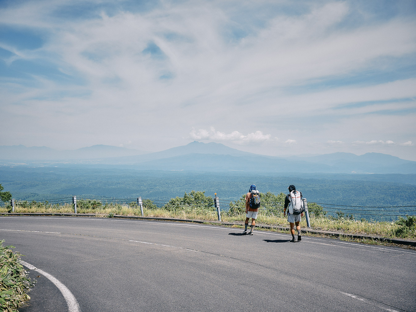
Days earlier, from Mount Meakan, we had seen the top of Shari-dake (1,547 metres, or 5,075 ft) in the distance, but it was now drawing closer with each passing day. The slow approach of a mountain is one of the pleasures of traveling on foot. At a speed of 4 kph (2.5 mph), you feel the passage of time. You might think travel is about visiting a faraway place, but perhaps its true essence is being aware of time ー how long it takes to get to where you’re going.
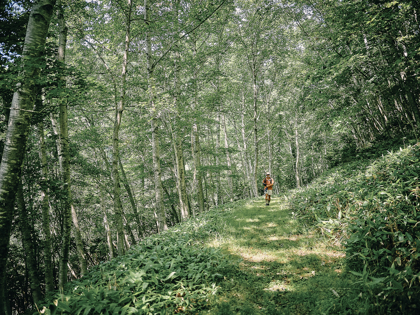
Leaving the paved road for a forest road.
We leave the paved road and take a forested path. Sunlight slips through the trees and breaks up at our feet. It’s serene, yet we can almost feel the presence of the animals around us. The possibility of brown bears rupturing the quiet.
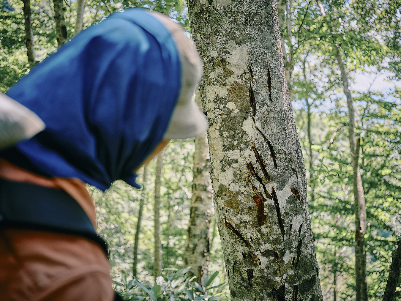
Claw marks of a brown bear.
On tree trunks beside the road, we spot scratch marks ー perhaps from brown bear claws. We ring our bear bells, blow our whistles and hurry downhill. It’s tense. A bear could appear at any moment. Maybe they’re watching us from afar.
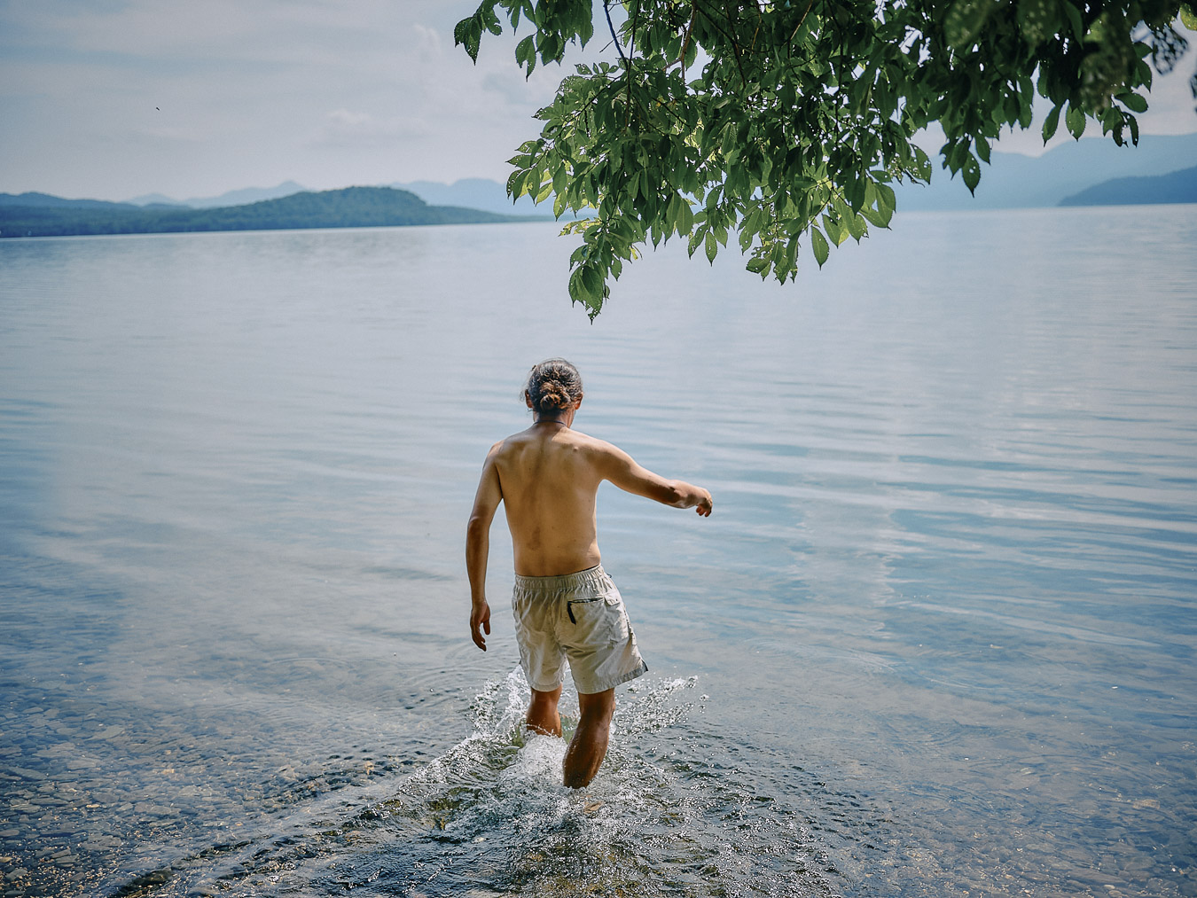
We must not provoke them. This fear comes with the territory. In cities around Japan, there are few things to incite our instinctive sense of danger. Cities exist for our convenience, which is why it’s good to be out here, reminded by our own fear that the planet isn’t ours alone. That we share it. That out in the wilderness we are small, fragile. When we finally reach a clearing in the forest, Lake Kussharo spreads out before us. We take a dip in the lake to wash away the tension and the summer heat.
The road to the sky
July is nearly over. Two weeks have passed since we left Kushiro. Only 50 kilometers (30 miles) of the Hokkaido East Trail remain ahead of us. We’re nearing the end of our journey.
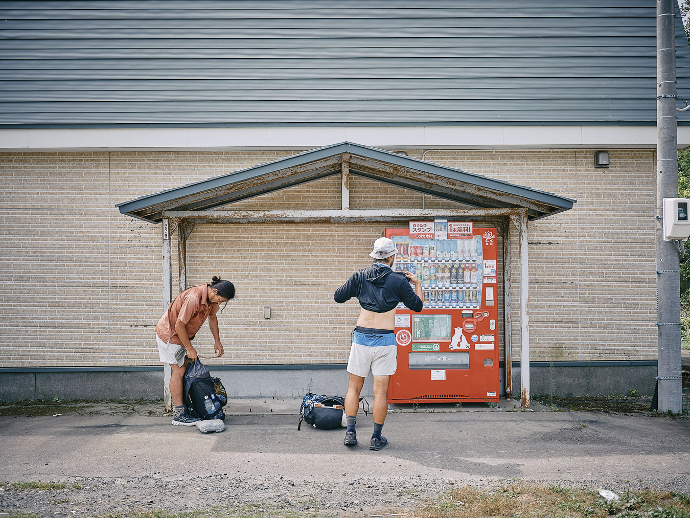
We take breaks at vending machines.
We took a couple of days off from hiking: we stayed two nights in Shari at a friend Kotomi’s place. Kotomi had recently moved here. Aya, another friend who lives in Sapporo, came with her son to see us. Kotomi had traveled around Nepal, and we huddled over maps of the country as she recounted the details of her trip. Nepal ranks high on Tani’s travel wish list, and he listened intently. I’ve been to Nepal once but I’m now eager to go again, to take things slowly.
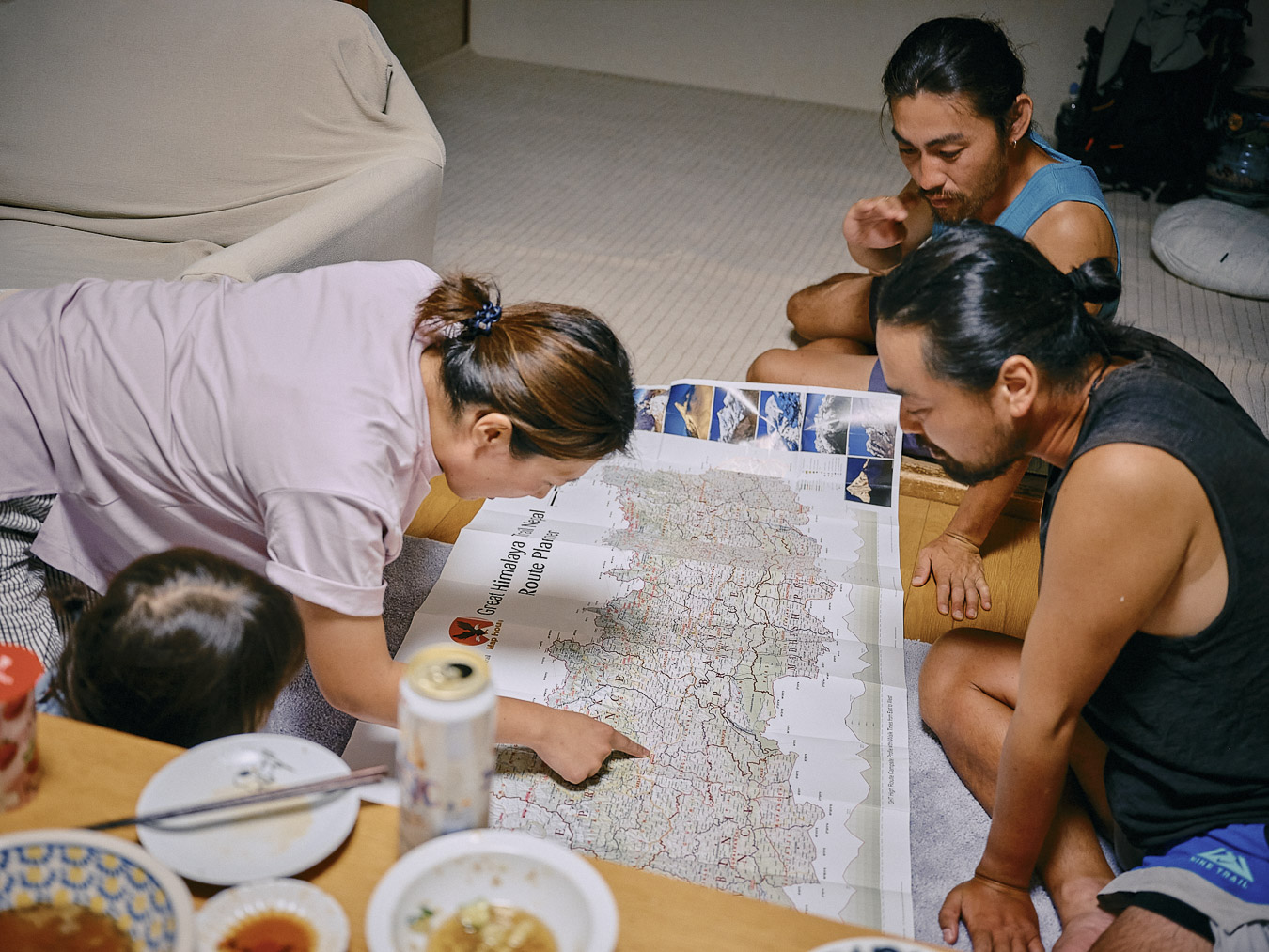
Poring over a map of Nepal.
People who love night trains or mountains are similar. They brighten when talking about the next trip. They plan. They know what brings them joy, how to find the time and money to achieve it. Others might consider this way of living reckless. But people like this add color to my life.
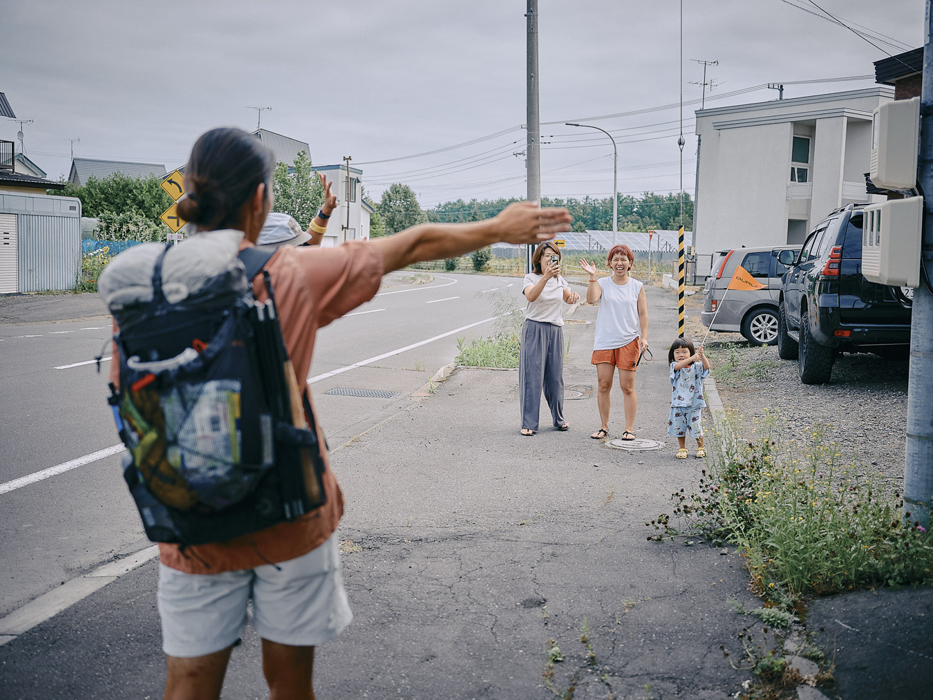
Morning send-off.
We leave our friends in Shari and continue on toward Shiretoko. On the way, along the Hokkaido East Trail, there’s a place I need to visit. A place that’s tied to my memories.
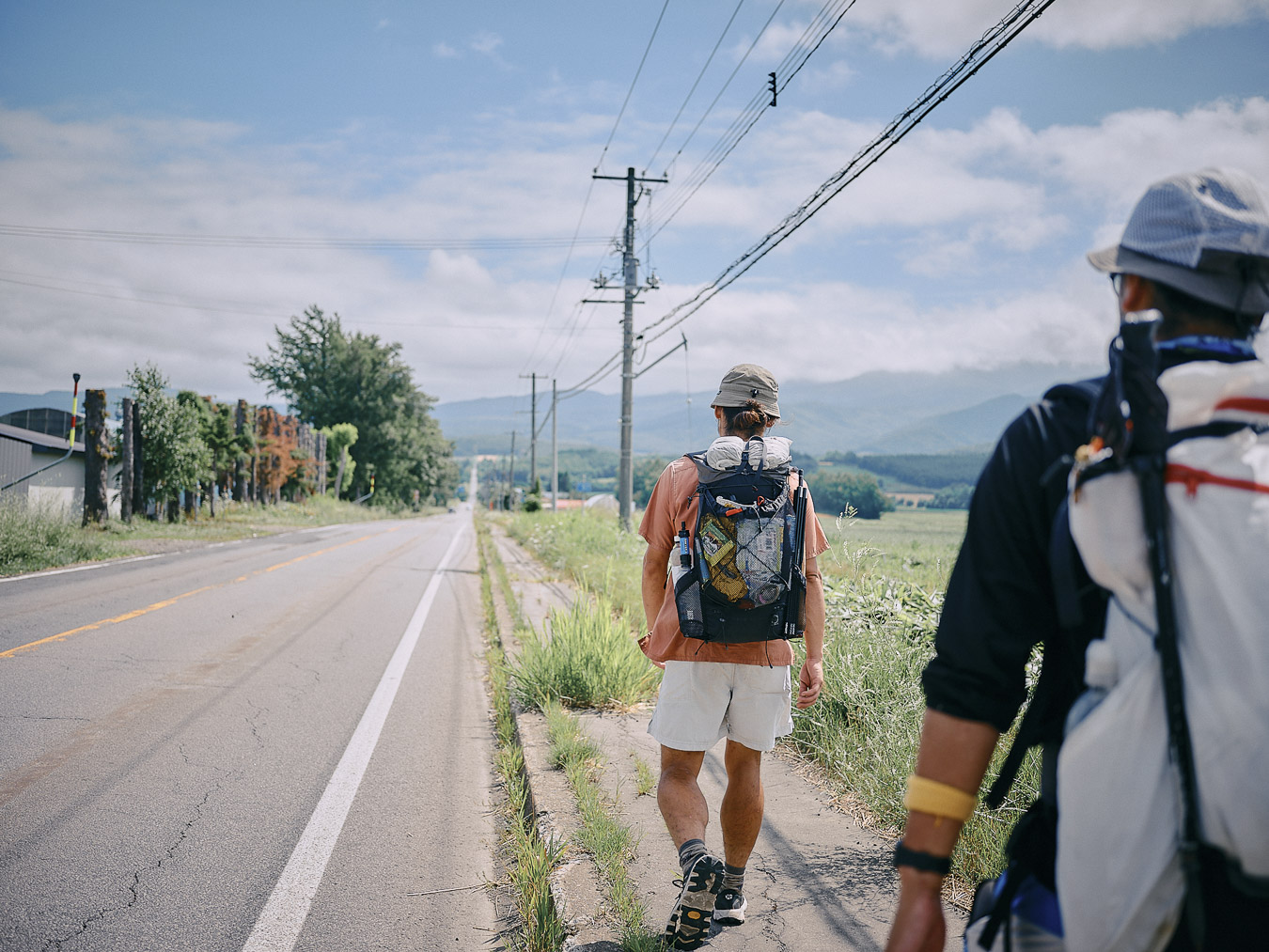
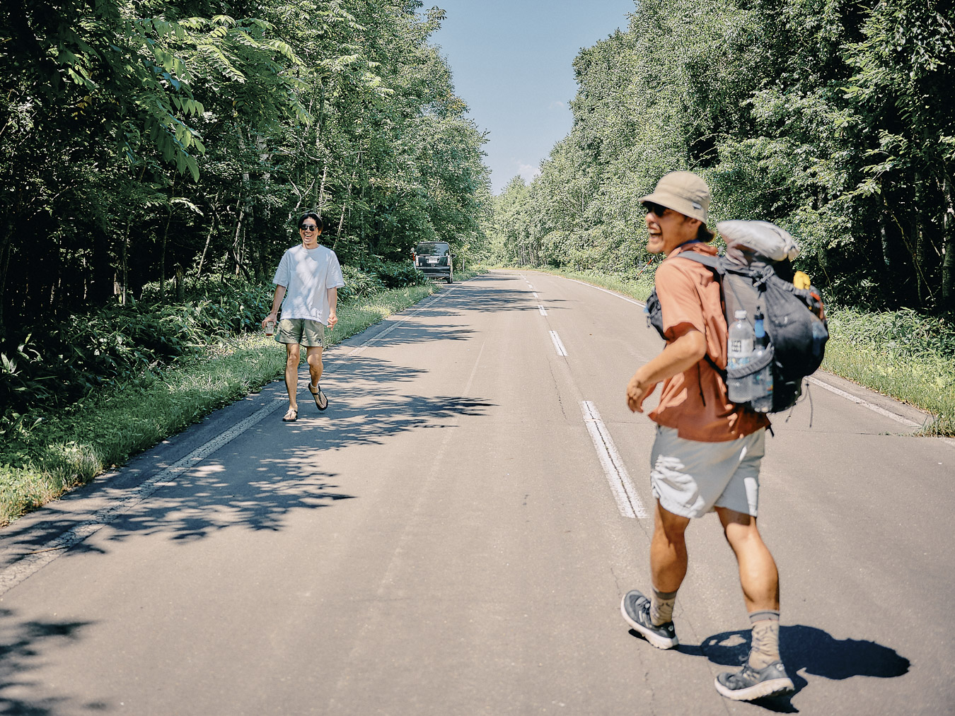
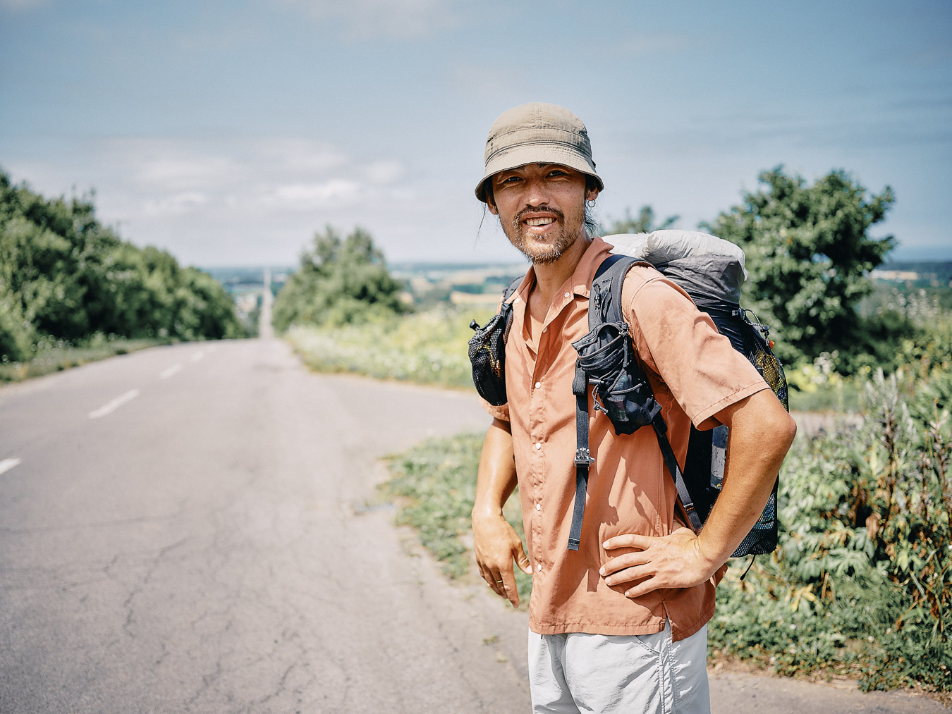
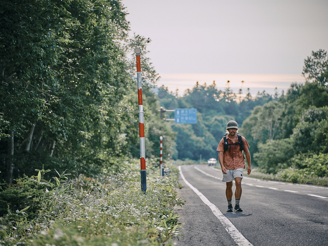
Walking the road toward Shiretoko.
It’s called The Road to the Sky. Anyone who has been to Shari probably knows it. Twelve years ago, I arrived in Hokkaido, knowing nothing about the island. I was traveling by bicycle and met an older man, who visited Hokkaido every year to cycle. He was the one who told me to visit The Road to the Sky. I didn’t know where Shari was but I opened my touring map and marked the spot.
“Don’t look back until you reach the top,” he said, and left.
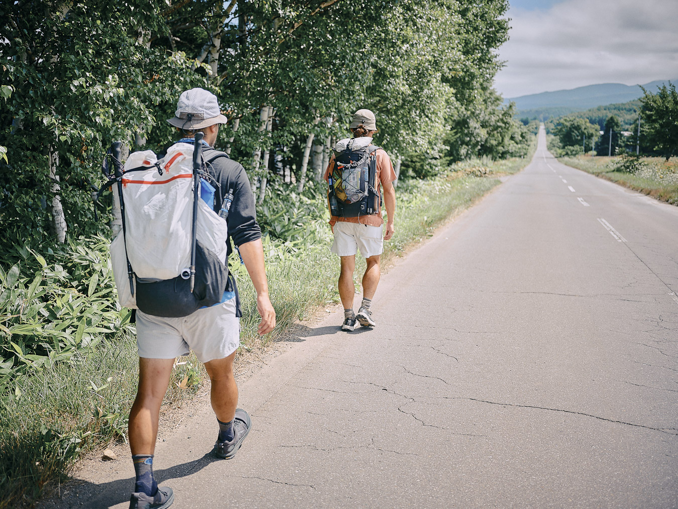
Walking along an endless road.
Remembering that encounter from twelve years ago, I walked toward the place once more. Twelve years—a third of my lifetime. I had turned 36 two days earlier. I rarely revisit the places that I’ve been to, but something compelled me to go again.
In my journal, my 24-year-old self wrote:
July 9, 2013 (Day 100)
I thought traveling would help me grow. In reality, as I see and learn unfamiliar things, I realize how vast the unknown is, and I feel myself growing smaller. Still, I don’t feel anxious. By knowing my own imperfections, I can feel joy in learning, and by knowing how small I am, I can better see the greatness of the world.
I haven’t changed much. As I climb the slope, I keep my eyes fixed to what’s ahead. I won’t look back until I’m at the top.
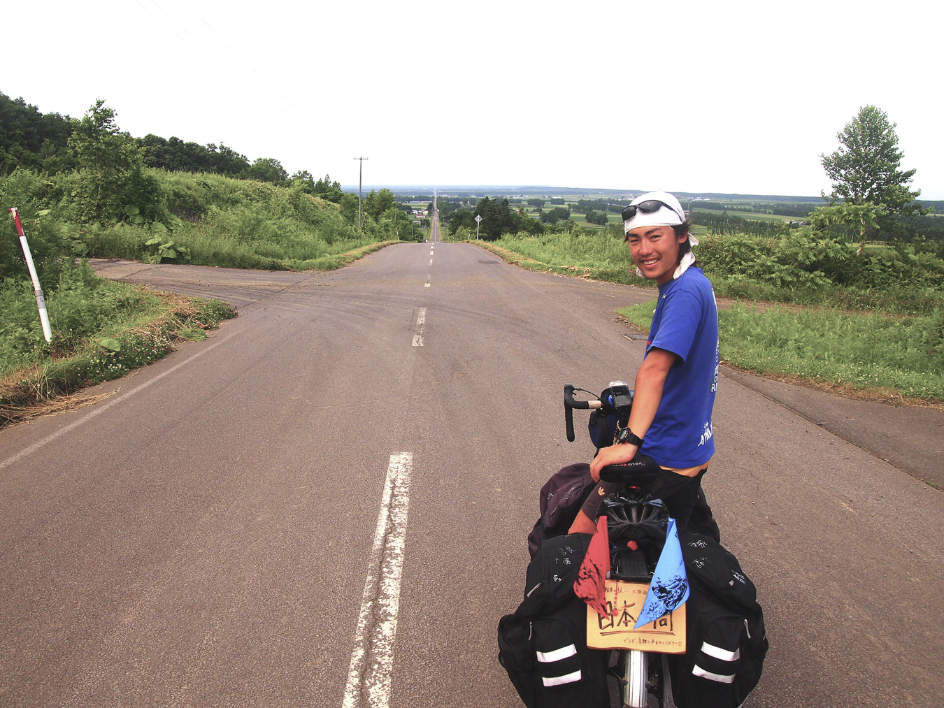
Summer, 12 years ago.
The Road to the Sky is a 28-kilometer (17-mile) stretch of National Routes 244 and 334. It’s so straight that it appears to extend into the sky. I don’t remember how I felt 12 years ago. This time, at the top, I catch my breath and slowly turn around. It’s a familiar view and yet it stirs something within me. Not because I’m awestruck by the road, but because it jogs my memory of standing here, seeing this scenery 12 years ago. It’s the feeling of revisiting a neighborhood park from your childhood: not quite nostalgia or sadness but something closer to affection.
Same photo spot, 12 years later.
This place called Shiretoko
Terayama works as a nature guide in Shiretoko. He was among those who thru-hiked the Hokkaido East Trail to commemorate its opening. The day before we head into Shiretoko National Park, he invites the three of us to his home.
“Do you encounter brown bears in the mountains around Shiretoko?” I ask.
“I used to see them quite a lot until a few years ago. But lately, not so much,” he says.
Shiretoko is synonymous with brown bears. We’re about to walk the Shiretoko Crossing Road, a paved highway used by sightseeing buses.
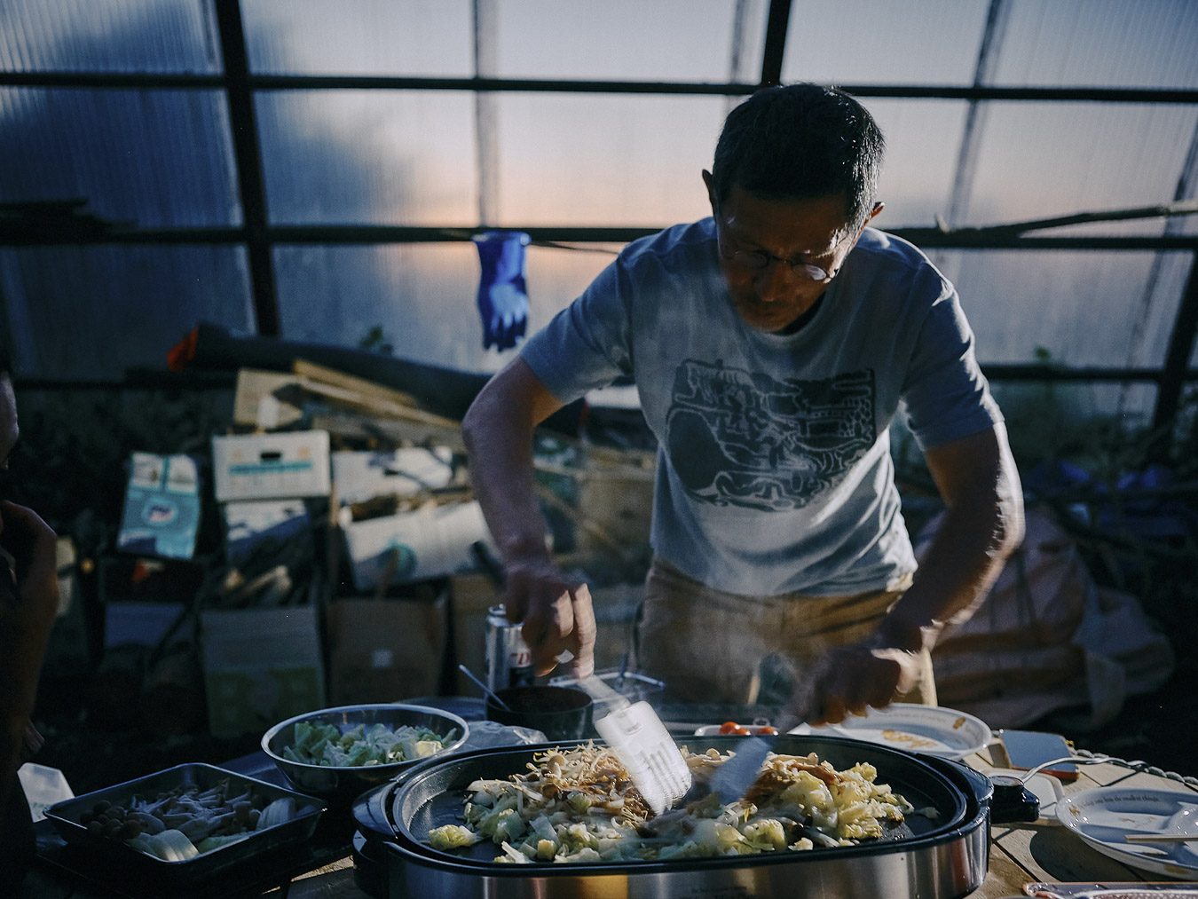
Treating us to Hokkaido’s local dish, chanchan-yaki.
According to recent statistics, around 400 brown bears live on the Shiretoko Peninsula. On a spit of land roughly 70 kilometers long (44 miles) and 20 kilometers (12 miles) wide, that’s a dense population of bears. They share this confined space with 14,000 residents (10,000 in Shari and 4,000 in Rausu) and the nearly one million tourists who visit each year. Inevitably, there are run-ins between the two. Nearly 700 brown bear sightings were reported in Shari and Rausu in 2024, according to the Shiretoko Data Center, a government-run ecology office that looks after the Shiretoko National Park, a Unesco World Heritage Site.
“Is the bear population growing?” I ask.
“Two years ago, the forest trees produced too few nuts to feed the bears, so the bears started venturing into towns to look for food. More than 100 were culled, so the bear population has probably decreased.”
Despite that, he says, the number of reports of bear encounters seem to have gone up. Nobody knows why.
One more photo before our departure.
Late into the night, Terayama gives us a rundown of the bear situation in Shiretoko. The next day, we head over the Shiretoko Pass and we can’t help thinking about the relationship between people and bears.
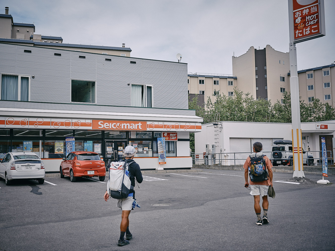
The last Seicomart of our journey.
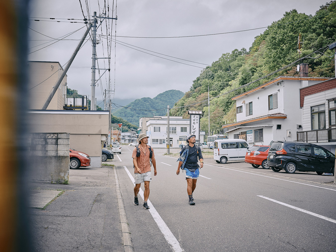
In Utoro, on the north side of Shiretoko Pass, we stop at a Seicomart convenience store for a quick bite. We want to get rid of trash but there are no trash cans, and we’re told to carry everything with us. Even disposing of garbage requires vigilance here. Any trash left behind would attract bears. The store clerk seems tense. We repack our trash and move on.
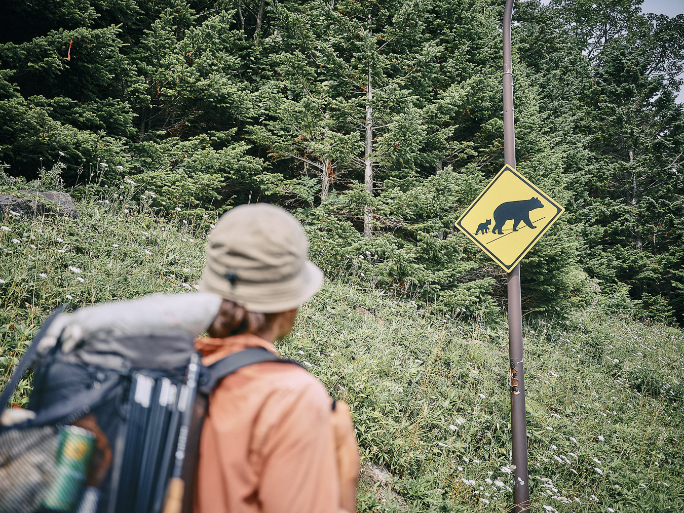
A road sign warning of brown bears.
Even on a paved road, there’s a heightened tension to walking through bear territory.
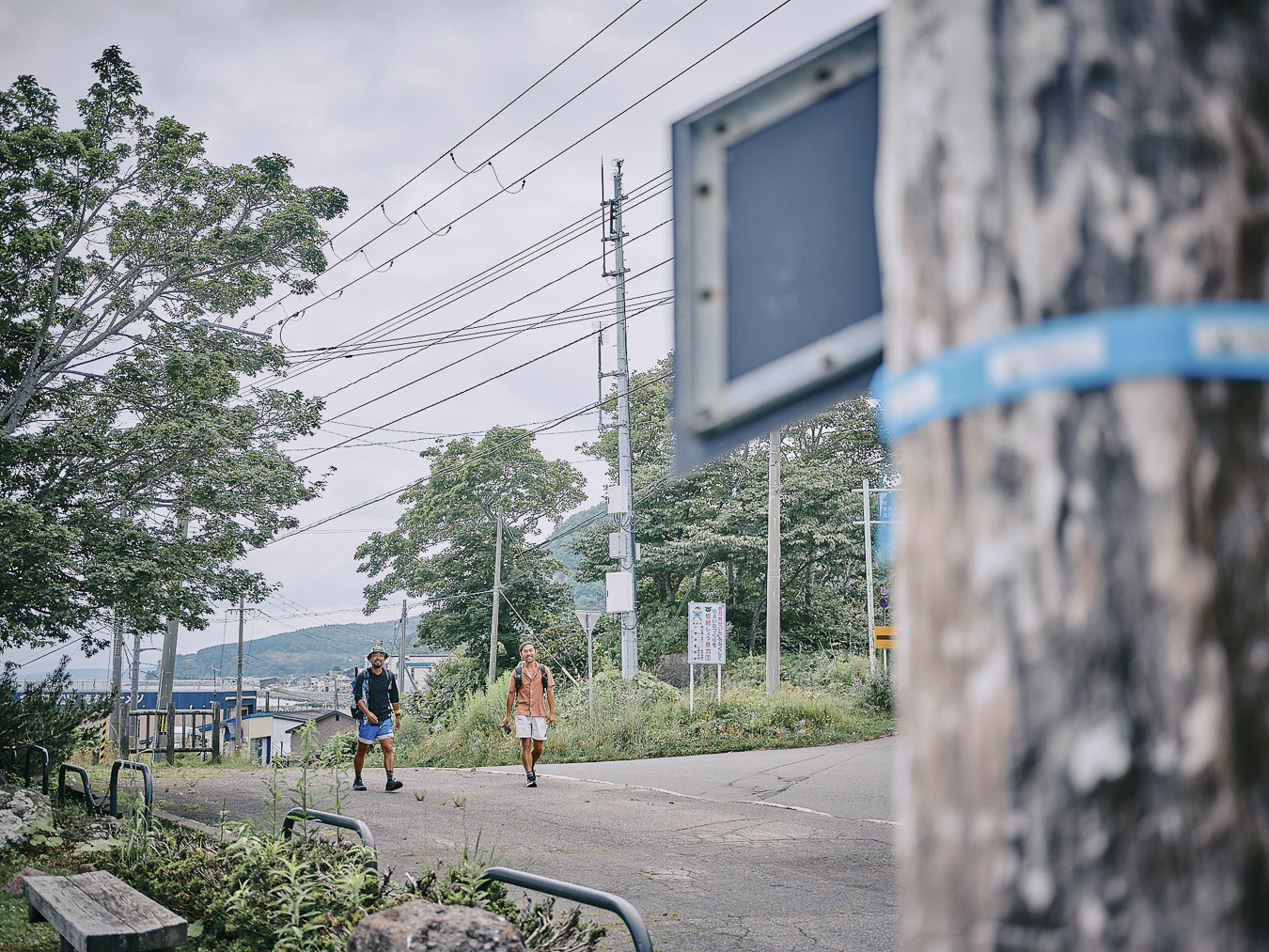
From Utoro, we head to Shiretoko.
A few days earlier, there was news that a brown bear had attacked a Yezo deer. Someone had recorded a video of it on the Shiretoko Crossing Road—the route we’d been walking. Brown bears mainly eat wild plants and nuts. In summer, when food becomes scarce, they sometimes prey on deer. Would a bear do this in the presence of people? What happened to the boundary between our homes and their wilderness?
Heading to Shiretoko Pass.
Later, the bear was shot and killed. It had not harmed any people. Hunger had probably driven it to go after an animal larger than itself. For people in the area, the thought of an aggressive bear roaming nearby was too scary to let go.
Did humans push too far into their natural surroundings? Or was it the bears that had encroached on human settlements? In Hokkaido, there have been cases of people getting attacked and killed by bears. In the survival-of-the-fittest battle, an unarmed person usually loses. But it can be hard for us to accept this reality.
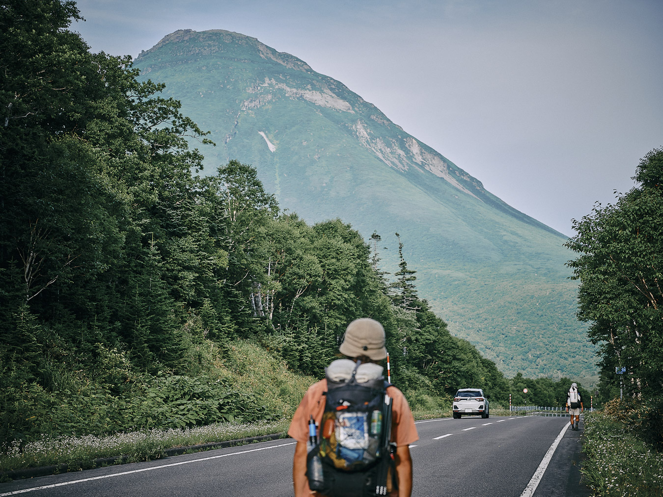
Mount Rausu comes into view along the approach to Shiretoko Pass.
As bears enter residential areas with greater frequency in their search for food, it seems inevitable that many will be shot. More than a century ago, wolves roamed parts of Japan. Habitat loss, hunting and disease drove them to extinction. Is it possible that bears might suffer a similar fate? I hope not. I believe most people feel the same.
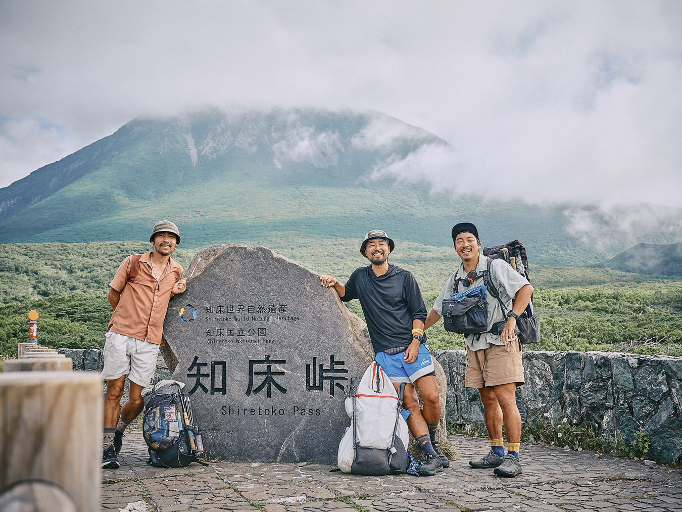
We arrive at Shiretoko Pass.
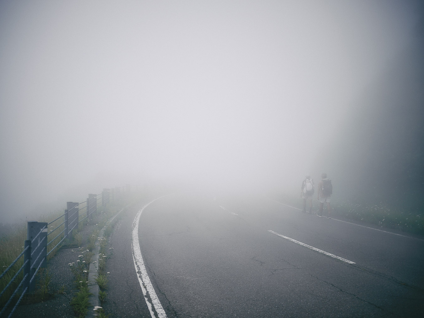
Fog rises from the sea as we descend from the pass.
Ecosystems exist in a delicate balance. When species disappear, the equilibrium gets disrupted. It’s impossible to gauge the current state of this equilibrium. A person’s lifetime is too short to make that call. I find myself hoping for the peaceful coexistence of humans and nature. This was on my mind as we neared the end of our journey.
Final thoughts...
The Hokkaido East Trail was unlike any other long-distance trail that I’ve walked in Japan. Nowhere else have I experienced a trail where people and nature so closely overlap.
Along the trail, the grandeur of my surroundings stopped me in my tracks time and again. But what stayed with me most was the fact that I wasn’t just witnessing nature’s beauty but also experiencing the tension of being immersed in it. That reality hit whenever I thought about the brown bears populating Shiretoko.
I’m no expert. I don’t claim to be deeply knowledgeable about bears or the Shiretoko region. On this journey, I listened, I walked. We often hear about the damage caused by wildlife. For farmers I know, it’s a constant concern. They fence off their vegetable fields and rice paddies, attempting to draw a line between themselves and animals. And yet, animals still find their way in.
Descending into Rausu
Does a boundary between humans and animals even exist? As I walked the final stretch of this journey, I mulled over the question. How did indigenous people ー the Ainu, the Inuit, Native Americans ー cope? Did they find it a struggle?
Modern civilization has brought safety, comfort and longevity. These conveniences were never far away on this trip, even when we were deep in Hokkaido’s wilderness. Our lightweight hiking gear, smartphones and GPS were evidence of that. As hikers, we move between the boundaries of human settlements and the untamed wild places. This puts us in a unique position ー to cultivate a greater awareness of our natural world. What matters is our willingness to pay attention.
The finish line: Shiokaze Park in Rausu.
Walking the Hokkaido East Trail feels like a search for the ways that we can balance our needs with the existence of the flora and fauna around us. There are no easy answers. The Hokkaido East Trail is not completely safe. But I hope more people will walk it, despite the risks. Only by immersing ourselves in these wild places can we come up with the questions that we should be asking about ourselves and our planet.
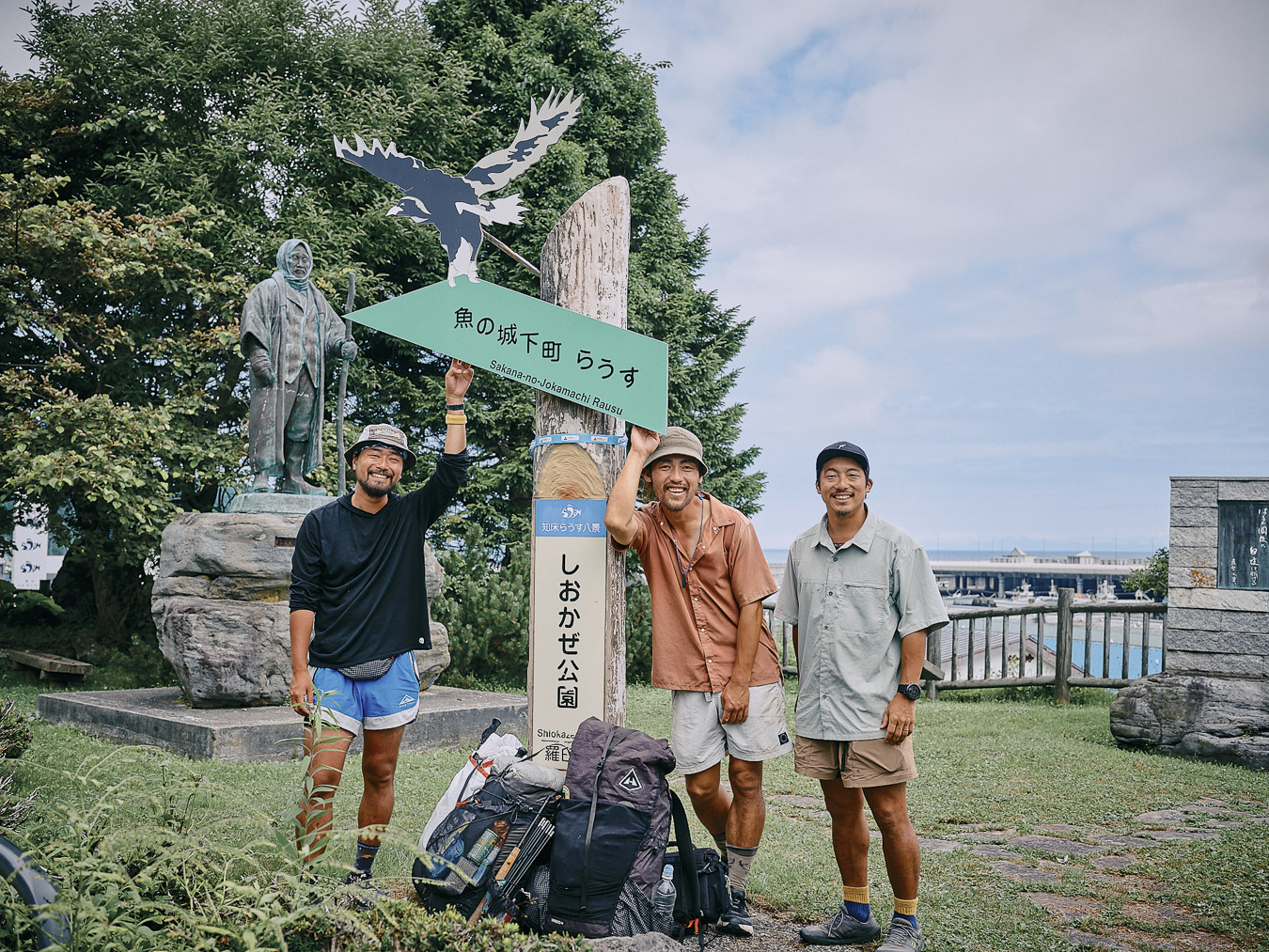
Completing the trail’s 410 kilometers (255 miles).
北海道東トレイルは、人と自然、人と動物が共存し、共生できる方法を模索しているように感じた。歩いたからといってその答えが出るわけではないだろう。だが、旅をし、知り、感じることでそんなことを考えるきっかけにはなるはずだ。
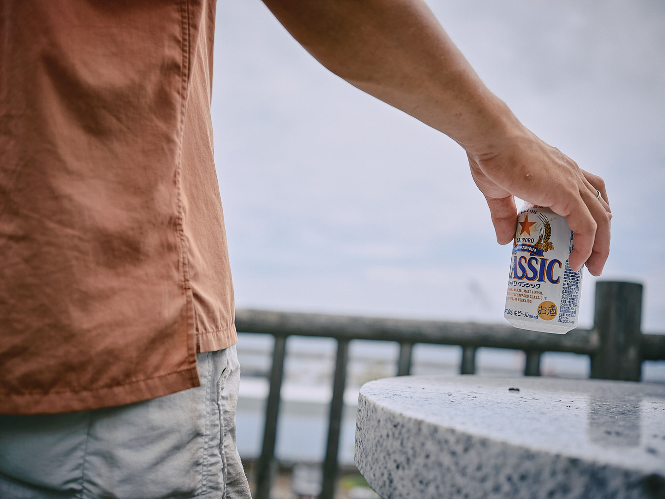
Toasting the end with a Classic.